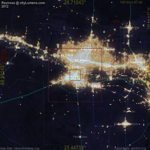
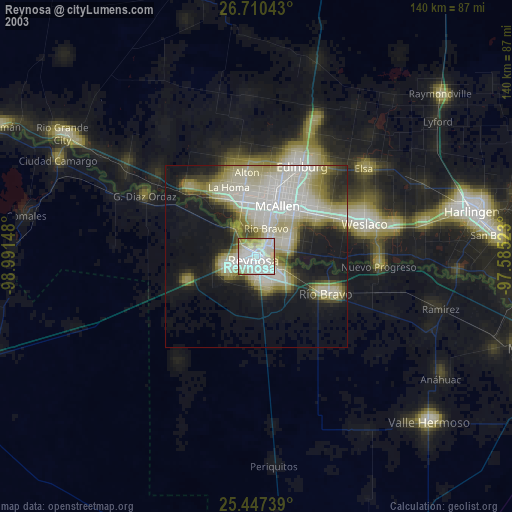
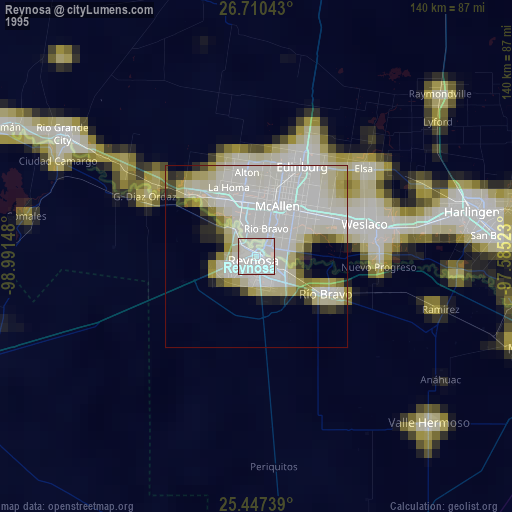
Reynosa night lights from space
Night Light of Reynosa (Tamaulipas) from space (Mexico) Src. Average luminocity for 10x10km area is 88.7401% and for 50x50km: 43.2881%.
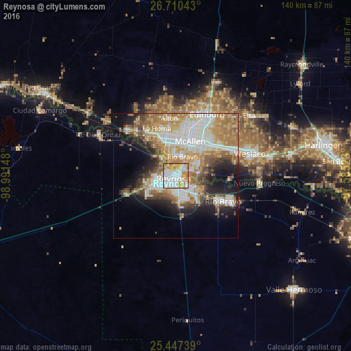
Analysis of Reynosa night lights 2016
Square area 10x10 km:
 34.13%
90-99
24.6%80-89
9.13%70-79
21.43%60-69
9.92%50-59
0.79%40-49
0%30-39
0%20-29
0%10-19
0%0-9
0%Square area 50x50 km:
10.55%90-99
8.18%80-89
6.51%70-79
7.18%60-69
7.98%50-59
4.75%40-49
3.58%30-39
3.6%20-29
5.75%10-19
9.87%0-9
32.06%Clear (daylight) street map image can be seen on geolist.org.
Map coordinates:
26° 42' 37.5" North, 98° 59' 29.3" West
26° 4' 50.2" North, 98° 17' 18.1" West
25° 26' 50.6" North, 97° 35' 6.8" West
Some cities around Reynosa sort by population:
• McAllen, US
14.8 km =9.2 mi,  23°
23°
• Mission, US
15.5 km =9.6 mi,  346°
346°
• Pharr, US
16.4 km =10.2 mi,  39°
39°
• San Juan, US
18 km =11.2 mi,  47°
47°
• Hidalgo, US
3.3 km =2.1 mi, 48°
• Palmview, US
18.9 km =11.7 mi,  334°
334°
• Palmview South, US
17.5 km =10.9 mi, 329°
• Perezville, US
19.5 km =12.1 mi, 325°
3520339 (p: 589,466)
Sources (retrieved 2019-11-25):
» NASA, Earths city lights 1995
» NASA city lights 2003
» Earth at Night: Flat Maps 2012, 2016