Primero de Mayo night lights from space
Night Light of Primero de Mayo (Veracruz) from space (Mexico) Src. Average luminocity for 10x10km area is 65.2159% and for 50x50km: 13.2757%.
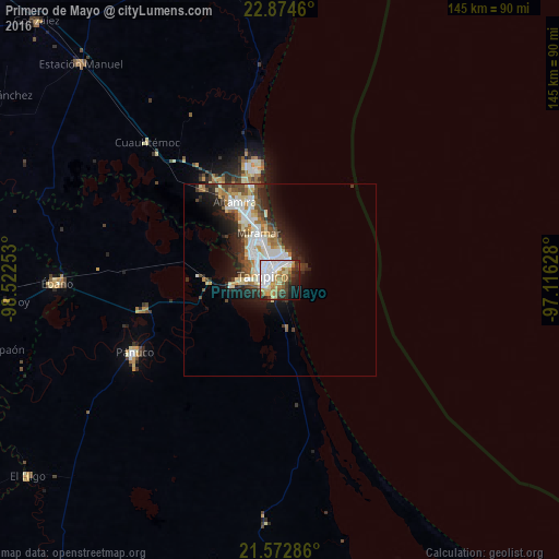
Analysis of Primero de Mayo night lights 2016
Square area 10x10 km:
 23.86%
90-99
11.55%80-89
6.63%70-79
9.28%60-69
10.04%50-59
3.03%40-49
6.44%30-39
6.82%20-29
10.61%10-19
9.47%0-9
2.27%Square area 50x50 km:
2.87%90-99
2.87%80-89
1.52%70-79
1.23%60-69
1.84%50-59
1.25%40-49
1.75%30-39
1.75%20-29
3.88%10-19
5.49%0-9
75.55%Clear (daylight) street map image can be seen on geolist.org.
Map coordinates:
22° 52' 28.6" North, 98° 31' 21.1" West
22° 13' 30.9" North, 97° 49' 9.8" West
21° 34' 22.3" North, 97° 6' 58.6" West
Some cities around Primero de Mayo sort by population:
• Tampico
9 km =5.6 mi,  317°
317°
• Ciudad Madero
5.5 km =3.4 mi,  341°
341°
• Miramar
17.2 km =10.7 mi,  331°
331°
• Altamira
22.2 km =13.8 mi, 326°
• Benito Juárez
3.5 km =2.2 mi,  218°
218°
• Anahuac
4.4 km =2.7 mi,  235°
235°
• Moralillo
9.5 km =5.9 mi,  270°
270°
• Ciudad Cuauhtémoc
4.8 km =3 mi,  199°
199°
3521120 (p: 5,011)
Sources (retrieved 2019-11-25):
» Earth at Night: Flat Maps 2012, 2016