Ciudad Cuauhtémoc night lights from space
Night Light of Ciudad Cuauhtémoc (Veracruz) from space (Mexico) Src. Average luminocity for 10x10km area is 34.9345% and for 50x50km: 11.3016%.
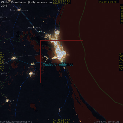
Analysis of Ciudad Cuauhtémoc night lights 2016
Square area 10x10 km:
 3.57%
3.57%90-99
4.56%80-89
5.56%70-79
6.15%60-69
6.35%50-59
4.17%40-49
5.16%30-39
6.35%20-29
10.71%10-19
20.44%0-9
26.98%Square area 50x50 km:
2.73%90-99
2.57%80-89
1.17%70-79
0.98%60-69
1.46%50-59
0.88%40-49
1.25%30-39
1.42%20-29
3.33%10-19
4.75%0-9
79.46%Clear (daylight) street map image can be seen on geolist.org.
Map coordinates:
22° 50' 2.2" North, 98° 32' 16.3" West
22° 11' 3.8" North, 97° 50' 5" West
21° 31' 54.6" North, 97° 7' 53.8" West
Some cities around Ciudad Cuauhtémoc sort by population:
• Tampico
12.1 km =7.5 mi,  338°
338°
• Miramar
20.7 km =12.9 mi, 341°
• Altamira
25.5 km =15.8 mi, 335°
• Pánuco
38.9 km =24.2 mi,  248°
248°
• Benito Juárez
1.9 km =1.2 mi, 340°
• Anahuac
2.9 km =1.8 mi,  314°
314°
• Moralillo
9.2 km =5.7 mi,  299°
299°
• Primero de Mayo
4.8 km =3 mi,  19°
19°
3514682 (p: 9,740)
Sources (retrieved 2019-11-25):
» Earth at Night: Flat Maps 2012, 2016