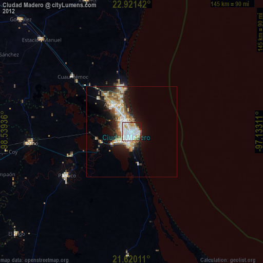
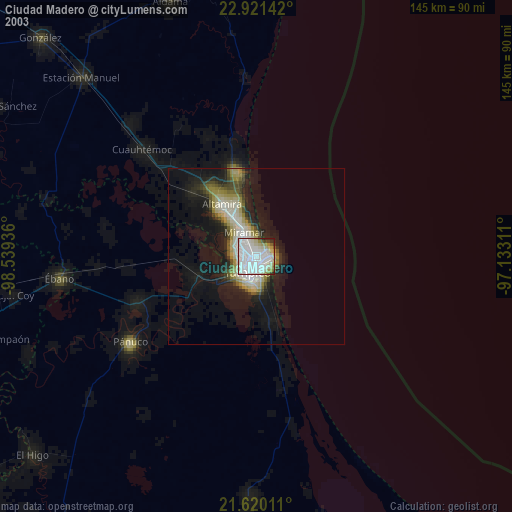
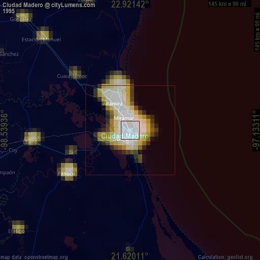
Ciudad Madero night lights from space
Night Light of Ciudad Madero (Tamaulipas) from space (Mexico) Src. Average luminocity for 10x10km area is 85.2235% and for 50x50km: 14.9802%.

Analysis of Ciudad Madero night lights 2016
Square area 10x10 km:
 41.48%
90-99
22.54%80-89
7.01%70-79
7.58%60-69
9.28%50-59
1.33%40-49
2.46%30-39
3.6%20-29
4.17%10-19
0.57%0-9
0%Square area 50x50 km:
3.03%90-99
3.07%80-89
1.76%70-79
1.51%60-69
2.23%50-59
1.32%40-49
2.04%30-39
2.11%20-29
4.52%10-19
6.61%0-9
71.8%Clear (daylight) street map image can be seen on geolist.org.
Map coordinates:
22° 55' 17.1" North, 98° 32' 21.7" West
22° 16' 20.2" North, 97° 50' 10.4" West
21° 37' 12.4" North, 97° 7' 59.2" West
Some cities around Ciudad Madero sort by population:
• Tampico
4.5 km =2.8 mi,  288°
288°
• Miramar
11.8 km =7.3 mi,  326°
326°
• Altamira
17 km =10.6 mi,  321°
321°
• Pánuco
43.4 km =27 mi,  235°
235°
• Benito Juárez
8 km =5 mi,  183°
183°
• Anahuac
8 km =5 mi,  194°
194°
• Moralillo
9.4 km =5.8 mi, 236°
• Primero de Mayo
5.5 km =3.4 mi,  161°
161°
3530594 (p: 197,216)
Sources (retrieved 2019-11-25):
» NASA, Earths city lights 1995
» NASA city lights 2003
» Earth at Night: Flat Maps 2012, 2016