Altar night lights from space
Night Light of Altar (Sonora) from space (Mexico) Src. Average luminocity for 10x10km area is 6.8724% and for 50x50km: 0.8424%.
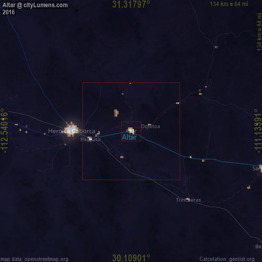
Analysis of Altar night lights 2016
Square area 10x10 km:
 0%
0%90-99
1.05%80-89
0.35%70-79
3.32%60-69
2.8%50-59
0.17%40-49
0%30-39
0%20-29
0%10-19
0%0-9
92.31%Square area 50x50 km:
0%90-99
0.07%80-89
0.01%70-79
0.29%60-69
0.2%50-59
0.32%40-49
0.12%30-39
0.09%20-29
0.02%10-19
0.01%0-9
98.85%Clear (daylight) street map image can be seen on geolist.org.
Map coordinates:
31° 19' 4.7" North, 112° 32' 24.6" West
30° 42' 55.4" North, 111° 50' 13.3" West
30° 6' 32.4" North, 111° 8' 2.1" West
Some cities around Altar sort by population:
• Nogales
107.8 km =67 mi,  52°
52°
• Heroica Caborca
30.7 km =19.1 mi,  270°
270°
• Magdalena de Kino
84.2 km =52.3 mi,  96°
96°
• Nogales, US
110.6 km =68.7 mi, 51°
• Santa Ana
71.4 km =44.4 mi,  105°
105°
• Imuris
95.1 km =59.1 mi,  85°
85°
• Pitiquito
21.2 km =13.2 mi,  258°
258°
• Benjamín Hill
92.2 km =57.3 mi,  131°
131°
4018699 (p: 7,927)
Sources (retrieved 2019-11-25):
» Earth at Night: Flat Maps 2012, 2016