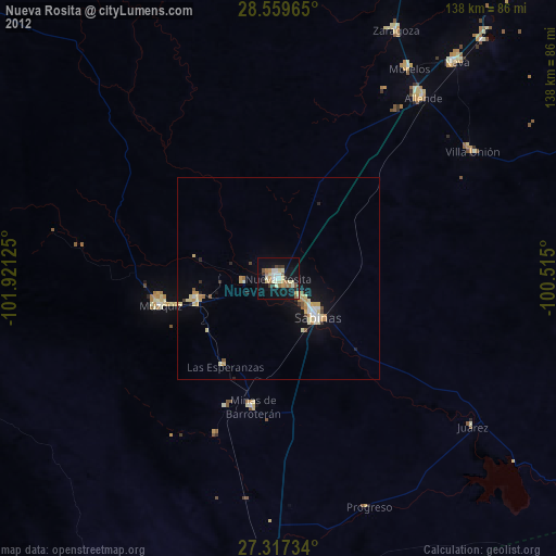
Nueva Rosita night lights from space
Night Light of Nueva Rosita (Coahuila) from space (Mexico) Src. Average luminocity for 10x10km area is 29.6913% and for 50x50km: 3.8537%.
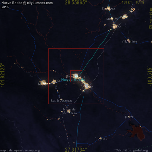
Analysis of Nueva Rosita night lights 2016
Square area 10x10 km:
 2.84%
2.84%90-99
4.17%80-89
4.92%70-79
5.49%60-69
5.87%50-59
3.03%40-49
2.08%30-39
2.46%20-29
2.27%10-19
38.07%0-9
28.79%Square area 50x50 km:
0.29%90-99
0.42%80-89
0.65%70-79
0.73%60-69
0.59%50-59
0.38%40-49
0.33%30-39
0.3%20-29
0.48%10-19
4.2%0-9
91.64%Clear (daylight) street map image can be seen on geolist.org.
Map coordinates:
28° 33' 34.7" North, 101° 55' 16.5" West
27° 56' 25" North, 101° 13' 5.2" West
27° 19' 2.4" North, 100° 30' 54" West
Some cities around Nueva Rosita sort by population:
• Sabinas
13.6 km =8.5 mi,  133°
133°
• Ciudad Melchor Múzquiz
30.1 km =18.7 mi,  256°
256°
• Allende
57.3 km =35.6 mi,  38°
38°
• Palau
20.8 km =12.9 mi, 255°
• Minas de Barroterán
32.7 km =20.3 mi,  191°
191°
• Morelos
61.1 km =38 mi,  31°
31°
• Villa Unión
57.5 km =35.7 mi,  56°
56°
• Villa Union
58 km =36 mi, 58°
3994667 (p: 38,158)
Sources (retrieved 2019-11-25):
» Earth at Night: Flat Maps 2012, 2016