Minas de Barroterán night lights from space
Night Light of Minas de Barroterán (Coahuila) from space (Mexico) Src. Average luminocity for 10x10km area is 5.9286% and for 50x50km: 1.8495%.
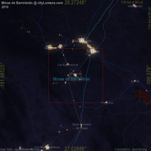
Analysis of Minas de Barroterán night lights 2016
Square area 10x10 km:
 0%
0%90-99
0%80-89
1.39%70-79
0.99%60-69
1.59%50-59
1.39%40-49
1.79%30-39
0%20-29
2.38%10-19
0%0-9
90.48%Square area 50x50 km:
0.17%90-99
0.2%80-89
0.32%70-79
0.25%60-69
0.23%50-59
0.23%40-49
0.25%30-39
0.18%20-29
0.34%10-19
1.4%0-9
96.43%Clear (daylight) street map image can be seen on geolist.org.
Map coordinates:
28° 16' 20.9" North, 101° 59' 6.9" West
27° 39' 5.2" North, 101° 16' 55.6" West
27° 1' 36.7" North, 100° 34' 44.4" West
Some cities around Minas de Barroterán sort by population:
• Frontera
82.2 km =51.1 mi,  191°
191°
• Sabinas
27.9 km =17.3 mi,  35°
35°
• Nueva Rosita
32.7 km =20.3 mi,  11°
11°
• Ciudad Melchor Múzquiz
34.2 km =21.3 mi,  317°
317°
• San Buenaventura
70.6 km =43.9 mi,  201°
201°
• Palau
30.2 km =18.8 mi,  332°
332°
• Villa Unión
83.7 km =52 mi, 40°
• Villa Union
83.9 km =52.1 mi, 41°
3977811 (p: 7,842)
Sources (retrieved 2019-11-25):
» Earth at Night: Flat Maps 2012, 2016