Navojoa night lights from space
Night Light of Navojoa (Sonora) from space (Mexico) Src. Average luminocity for 10x10km area is 54.9623% and for 50x50km: 4.435%.
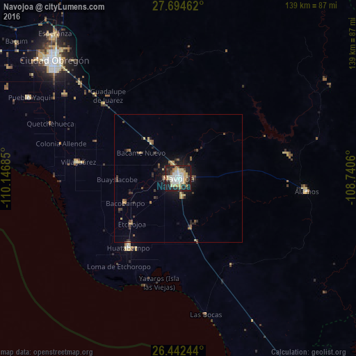
Analysis of Navojoa night lights 2016
Square area 10x10 km:
 9.92%
9.92%90-99
14.88%80-89
10.91%70-79
8.73%60-69
3.17%50-59
2.38%40-49
3.37%30-39
3.97%20-29
23.61%10-19
19.05%0-9
0%Square area 50x50 km:
0.38%90-99
0.56%80-89
0.76%70-79
0.62%60-69
0.47%50-59
0.43%40-49
0.72%30-39
0.62%20-29
1.53%10-19
2.98%0-9
90.92%Clear (daylight) street map image can be seen on geolist.org.
Map coordinates:
27° 41' 40.6" North, 110° 8' 48.7" West
27° 4' 13" North, 109° 26' 37.4" West
26° 26' 32.8" North, 108° 44' 26.2" West
Some cities around Navojoa sort by population:
• Huatabampo
33.5 km =20.8 mi,  215°
215°
• Pueblo Yaqui
66.5 km =41.3 mi,  298°
298°
• Villa Juárez
39.7 km =24.7 mi,  279°
279°
• Etchojoa
25.3 km =15.7 mi,  225°
225°
• Álamos
50.7 km =31.5 mi,  95°
95°
• El Tobarito
55.6 km =34.5 mi,  306°
306°
• Marte R. Gómez (Tobarito)
54.8 km =34.1 mi, 307°
• Bacobampo
23 km =14.3 mi,  244°
244°
3995019 (p: 113,836)
Sources (retrieved 2019-11-25):
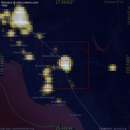
» NASA, Earths city lights 1995
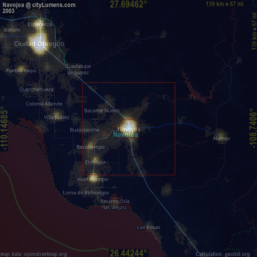
» NASA city lights 2003
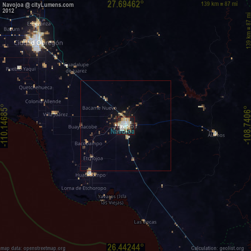
» Earth at Night: Flat Maps 2012, 2016