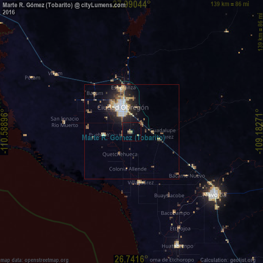
Marte R. Gómez (Tobarito) night lights from space
Night Light of Marte R. Gómez (Tobarito) (Sonora) from space (Mexico) Src. Average luminocity for 10x10km area is 9.2784% and for 50x50km: 7.6014%.
Analysis of Marte R. Gómez (Tobarito) night lights 2016
Square area 10x10 km:
 0%
0%90-99
0%80-89
2.46%70-79
1.33%60-69
1.14%50-59
0.76%40-49
2.65%30-39
0.76%20-29
0.38%10-19
7.58%0-9
82.95%Square area 50x50 km:
0.99%90-99
1.1%80-89
1.25%70-79
1.14%60-69
0.54%50-59
0.95%40-49
1.25%30-39
1.17%20-29
2.31%10-19
3.99%0-9
85.3%Clear (daylight) street map image can be seen on geolist.org.
Map coordinates:
27° 59' 25.6" North, 110° 35' 20.3" West
27° 22' 4" North, 109° 53' 9" West
26° 44' 29.8" North, 109° 10' 57.8" West
Some cities around Marte R. Gómez (Tobarito) sort by population:
• Ciudad Obregón
14.3 km =8.9 mi,  337°
337°
• Esperanza
23.9 km =14.9 mi,  349°
349°
• Pueblo Yaqui
14.7 km =9.1 mi,  264°
264°
• Villa Juárez
27 km =16.8 mi,  170°
170°
• El Tobarito
0.8 km =0.5 mi,  291°
291°
• Cocorit
24.2 km =15 mi, 342°
• Francisco Javier Mina
24.4 km =15.2 mi,  295°
295°
• Campo Sesenta
23 km =14.3 mi, 293°
8858173 (p: 8,700)
Sources (retrieved 2019-11-25):
» Earth at Night: Flat Maps 2012, 2016