Monclova night lights from space
Night Light of Monclova (Coahuila) from space (Mexico) Src. Average luminocity for 10x10km area is 82.6151% and for 50x50km: 8.4259%.
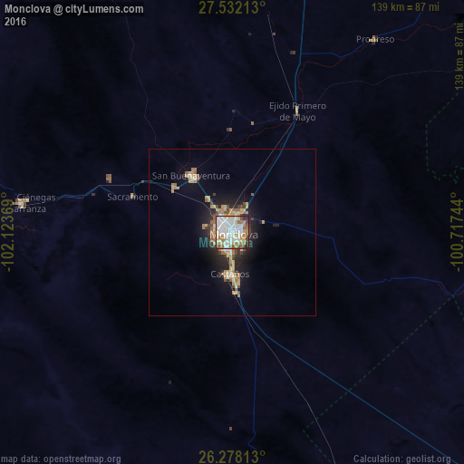
Analysis of Monclova night lights 2016
Square area 10x10 km:
 27.58%
90-99
29.37%80-89
6.94%70-79
8.53%60-69
12.1%50-59
4.17%40-49
5.95%30-39
2.58%20-29
2.58%10-19
0.2%0-9
0%Square area 50x50 km:
1.15%90-99
1.5%80-89
1.16%70-79
1.38%60-69
1.3%50-59
0.93%40-49
0.75%30-39
0.74%20-29
2.31%10-19
4.94%0-9
83.83%Clear (daylight) street map image can be seen on geolist.org.
Map coordinates:
27° 31' 55.7" North, 102° 7' 25.3" West
26° 54' 24.7" North, 101° 25' 14" West
26° 16' 41.3" North, 100° 43' 2.8" West
Some cities around Monclova sort by population:
• Frontera
3.9 km =2.4 mi,  307°
307°
• Ciudad Melchor Múzquiz
108.5 km =67.4 mi,  355°
355°
• Castaños
13.1 km =8.1 mi,  185°
185°
• San Buenaventura
21.4 km =13.3 mi,  323°
323°
• Palau
109.6 km =68.1 mi, 359°
• Cuatro Ciénegas de Carranza
64.4 km =40 mi,  277°
277°
• Minas de Barroterán
83.9 km =52.1 mi,  9°
9°
• Lampazos de Naranjo
91.7 km =57 mi,  81°
81°
3995523 (p: 215,271)
Sources (retrieved 2019-11-25):
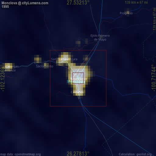
» NASA, Earths city lights 1995
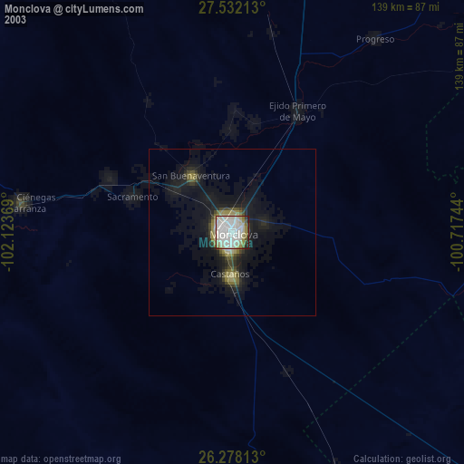
» NASA city lights 2003
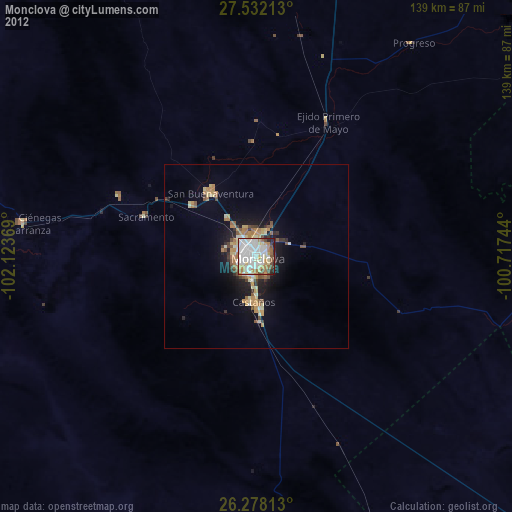
» Earth at Night: Flat Maps 2012, 2016