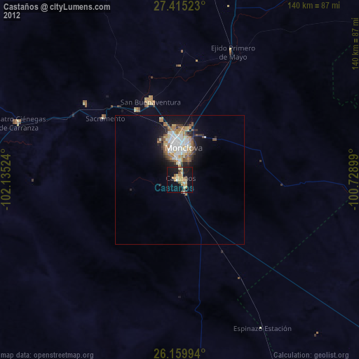
Castaños night lights from space
Night Light of Castaños (Coahuila) from space (Mexico) Src. Average luminocity for 10x10km area is 30.1329% and for 50x50km: 7.638%.
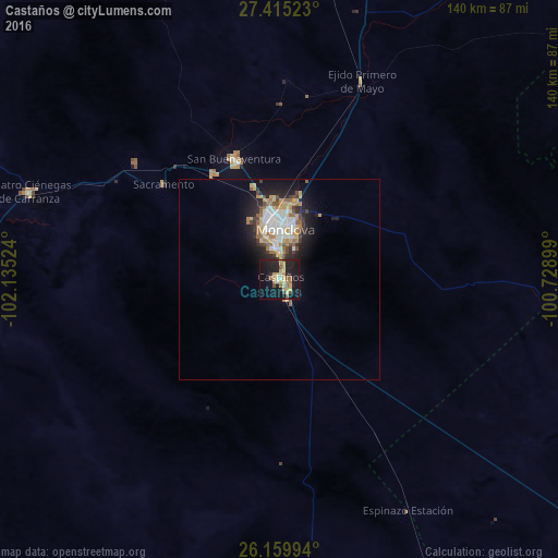
Analysis of Castaños night lights 2016
Square area 10x10 km:
 0%
0%90-99
4.56%80-89
6.35%70-79
7.54%60-69
3.37%50-59
4.37%40-49
1.79%30-39
0.99%20-29
13.1%10-19
37.5%0-9
20.44%Square area 50x50 km:
1.13%90-99
1.45%80-89
1%70-79
1.19%60-69
1.09%50-59
0.83%40-49
0.75%30-39
0.74%20-29
2.3%10-19
4.8%0-9
84.72%Clear (daylight) street map image can be seen on geolist.org.
Map coordinates:
27° 24' 54.8" North, 102° 8' 6.9" West
26° 47' 21.6" North, 101° 25' 55.6" West
26° 9' 35.8" North, 100° 43' 44.4" West
Some cities around Castaños sort by population:
• Monclova
13.1 km =8.1 mi,  5°
5°
• Frontera
15.6 km =9.7 mi,  352°
352°
• Ciudad Melchor Múzquiz
121.5 km =75.5 mi,  356°
356°
• San Buenaventura
32.4 km =20.1 mi,  339°
339°
• Palau
122.6 km =76.2 mi,  0°
0°
• Cuatro Ciénegas de Carranza
66.3 km =41.2 mi,  289°
289°
• Minas de Barroterán
97 km =60.3 mi, 8°
• Lampazos de Naranjo
95.6 km =59.4 mi,  74°
74°
4015022 (p: 23,649)
Sources (retrieved 2019-11-25):
» Earth at Night: Flat Maps 2012, 2016