Matías Romero night lights from space
Night Light of Matías Romero (Oaxaca) from space (Mexico) Src. Average luminocity for 10x10km area is 26.5455% and for 50x50km: 2.41%.
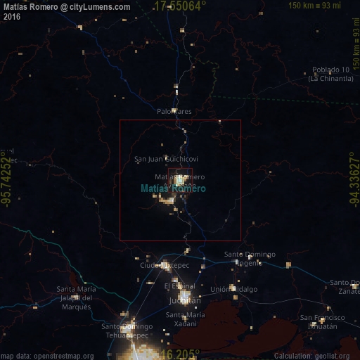
Analysis of Matías Romero night lights 2016
Square area 10x10 km:
 0.65%
0.65%90-99
7.79%80-89
5.84%70-79
3.03%60-69
0.87%50-59
3.03%40-49
2.6%30-39
2.6%20-29
1.73%10-19
35.28%0-9
36.58%Square area 50x50 km:
0.05%90-99
0.41%80-89
0.43%70-79
0.24%60-69
0.23%50-59
0.23%40-49
0.43%30-39
0.41%20-29
0.38%10-19
2.51%0-9
94.69%Clear (daylight) street map image can be seen on geolist.org.
Map coordinates:
17° 33' 2.3" North, 95° 44' 33.1" West
16° 52' 44.5" North, 95° 2' 21.8" West
16° 12' 18" North, 94° 20' 10.6" West
Some cities around Matías Romero sort by population:
• Juchitán de Zaragoza
49.3 km =30.6 mi,  177°
177°
• Ixtepec
36.1 km =22.4 mi,  190°
190°
• Unión Hidalgo
50.4 km =31.3 mi,  153°
153°
• Colonia Rincón Viejo
1.2 km =0.7 mi,  315°
315°
• El Espinal
43.8 km =27.2 mi, 180°
• Santa María Xadani
57.5 km =35.7 mi, 177°
• Asunción Ixtaltepec
41.9 km =26 mi, 183°
• Santo Domingo Petapa
12.7 km =7.9 mi,  238°
238°
3523450 (p: 18,944)
Sources (retrieved 2019-11-25):
» Earth at Night: Flat Maps 2012, 2016