Ixtepec night lights from space
Night Light of Ixtepec (Oaxaca) from space (Mexico) Src. Average luminocity for 10x10km area is 19.0152% and for 50x50km: 4.1975%.
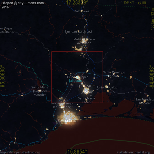
Analysis of Ixtepec night lights 2016
Square area 10x10 km:
 0.87%
0.87%90-99
4.55%80-89
3.68%70-79
2.38%60-69
1.52%50-59
0.87%40-49
2.38%30-39
2.81%20-29
1.95%10-19
9.52%0-9
69.48%Square area 50x50 km:
0.29%90-99
0.64%80-89
0.67%70-79
0.44%60-69
0.26%50-59
0.4%40-49
0.54%30-39
0.83%20-29
0.68%10-19
4.08%0-9
91.16%Clear (daylight) street map image can be seen on geolist.org.
Map coordinates:
17° 13' 59.8" North, 95° 48' 24.8" West
16° 33' 37.9" North, 95° 6' 13.5" West
15° 53' 7.4" North, 94° 24' 2.3" West
Some cities around Ixtepec sort by population:
• Juchitán de Zaragoza
16.5 km =10.3 mi,  147°
147°
• Santo Domingo Tehuantepec
30 km =18.6 mi,  209°
209°
• Unión Hidalgo
30.8 km =19.1 mi,  108°
108°
• San Blas Atempa
28.6 km =17.8 mi, 206°
• El Espinal
10.8 km =6.7 mi,  140°
140°
• Santa María Xadani
23.9 km =14.9 mi,  157°
157°
• Asunción Ixtaltepec
7.8 km =4.8 mi, 144°
• Santo Domingo Petapa
29 km =18 mi,  352°
352°
3526674 (p: 25,381)
Sources (retrieved 2019-11-25):
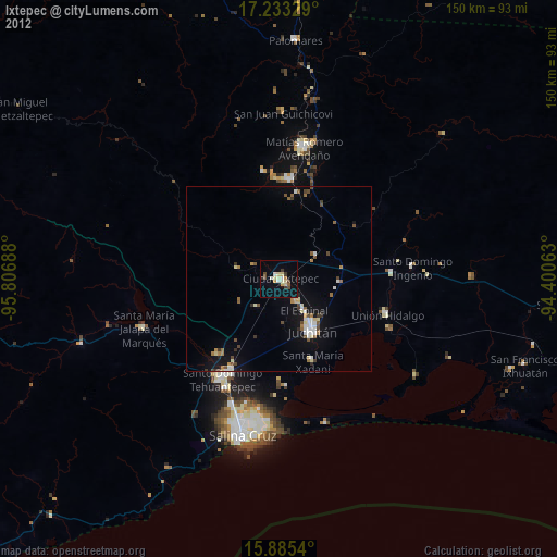
» Earth at Night: Flat Maps 2012, 2016