Mascota night lights from space
Night Light of Mascota (Jalisco) from space (Mexico) Src. Average luminocity for 10x10km area is 2.4072% and for 50x50km: 0.2427%.
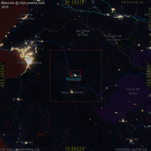
Analysis of Mascota night lights 2016
Square area 10x10 km:
 0%
0%90-99
0%80-89
0.19%70-79
1.33%60-69
0%50-59
1.52%40-49
0%30-39
0%20-29
0.19%10-19
0.57%0-9
96.21%Square area 50x50 km:
0%90-99
0%80-89
0.06%70-79
0.06%60-69
0.06%50-59
0.06%40-49
0.06%30-39
0.01%20-29
0.01%10-19
0.06%0-9
99.62%Clear (daylight) street map image can be seen on geolist.org.
Map coordinates:
21° 10' 59.5" North, 105° 29' 27.4" West
20° 31' 34.1" North, 104° 47' 16.1" West
19° 51' 58.5" North, 104° 5' 4.9" West
Some cities around Mascota sort by population:
• Puerto Vallarta
47.1 km =29.3 mi,  282°
282°
• Ixtapa
48.3 km =30 mi,  295°
295°
• El Salto
36.9 km =22.9 mi,  125°
125°
• San José del Valle
52.9 km =32.9 mi, 299°
• San Juan de Abajo
52.9 km =32.9 mi,  307°
307°
• Las Juntas
51.5 km =32 mi,  292°
292°
• Talpa de Allende
16.5 km =10.3 mi,  192°
192°
• El Porvenir
53.6 km =33.3 mi, 298°
3996472 (p: 8,801)
Sources (retrieved 2019-11-25):
» Earth at Night: Flat Maps 2012, 2016