Macuspana night lights from space
Night Light of Macuspana (Tabasco) from space (Mexico) Src. Average luminocity for 10x10km area is 34.2165% and for 50x50km: 11.6377%.
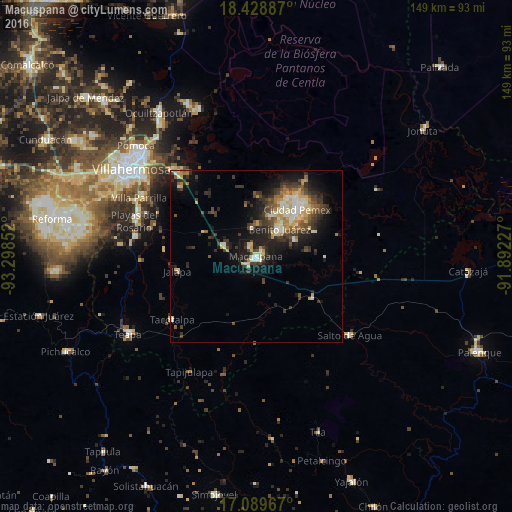
Analysis of Macuspana night lights 2016
Square area 10x10 km:
 2.6%
2.6%90-99
6.49%80-89
8.23%70-79
3.46%60-69
0.87%50-59
0.43%40-49
6.49%30-39
6.93%20-29
15.8%10-19
37.45%0-9
11.26%Square area 50x50 km:
0.7%90-99
2.05%80-89
1.85%70-79
1.41%60-69
1.14%50-59
1.18%40-49
2.49%30-39
3.21%20-29
3.41%10-19
7.59%0-9
74.97%Clear (daylight) street map image can be seen on geolist.org.
Map coordinates:
18° 25' 43.9" North, 93° 17' 54.7" West
17° 45' 37.9" North, 92° 35' 43.4" West
17° 5' 22.8" North, 91° 53' 32.2" West
Some cities around Macuspana sort by population:
• Río de Teapa
32.4 km =20.1 mi,  274°
274°
• San Carlos
10.7 km =6.6 mi,  40°
40°
• Parrilla II
37 km =23 mi,  290°
290°
• Tacotalpa
30.5 km =19 mi,  233°
233°
• Belén
3.6 km =2.2 mi,  331°
331°
• Ciudad Pemex
18 km =11.2 mi, 40°
• La Curva
16.3 km =10.1 mi, 44°
• Salto de Agua
35.5 km =22.1 mi,  130°
130°
3523791 (p: 32,225)
Sources (retrieved 2019-11-25):
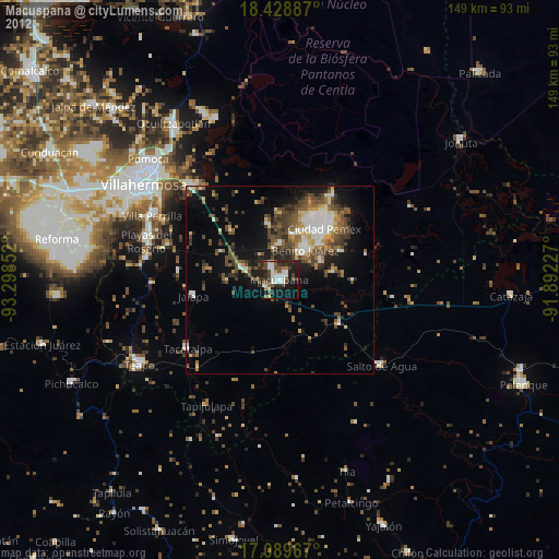
» Earth at Night: Flat Maps 2012, 2016