Cuautla night lights from space
Night Light of Cuautla (Morelos) from space (Mexico) Src. Average luminocity for 10x10km area is 70.6407% and for 50x50km: 28.2826%.
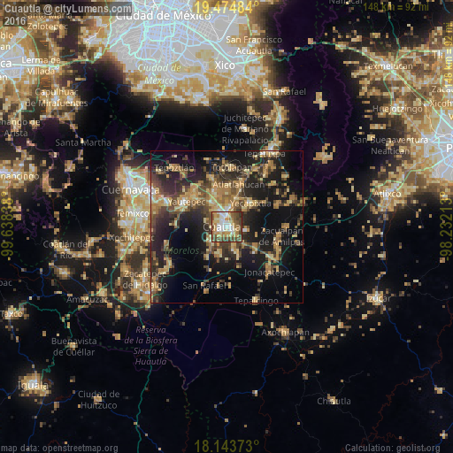
Analysis of Cuautla night lights 2016
Square area 10x10 km:
 9.96%
9.96%90-99
16.23%80-89
11.26%70-79
14.94%60-69
12.77%50-59
11.47%40-49
18.18%30-39
4.98%20-29
0.22%10-19
0%0-9
0%Square area 50x50 km:
0.82%90-99
1.57%80-89
5.05%70-79
5.21%60-69
6.12%50-59
3.68%40-49
7.62%30-39
5.98%20-29
9.61%10-19
19.62%0-9
34.74%Clear (daylight) street map image can be seen on geolist.org.
Map coordinates:
19° 28' 29.4" North, 99° 38' 18.2" West
18° 48' 38.2" North, 98° 56' 6.9" West
18° 8' 37.4" North, 98° 13' 55.7" West
Some cities around Cuautla sort by population:
• Yecapixtla
11 km =6.8 mi,  42°
42°
• Juan Morales
1.4 km =0.9 mi,  86°
86°
• San Pedro Apatlaco
3.2 km =2 mi,  232°
232°
• Anenecuilco
6.8 km =4.2 mi,  236°
236°
• Cocoyoc
9.5 km =5.9 mi,  329°
329°
• Tenextepango
9.4 km =5.8 mi,  194°
194°
• Oaxtepec
12.2 km =7.6 mi,  349°
349°
• Ciudad Ayala
6.9 km =4.3 mi, 225°
3529982 (p: 154,358)
Sources (retrieved 2019-11-25):
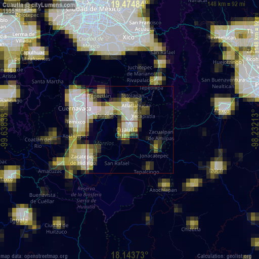
» NASA, Earths city lights 1995
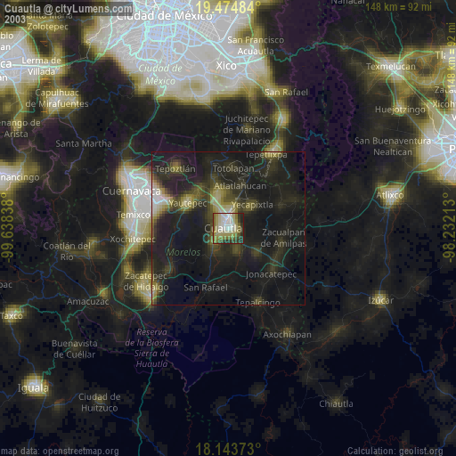
» NASA city lights 2003
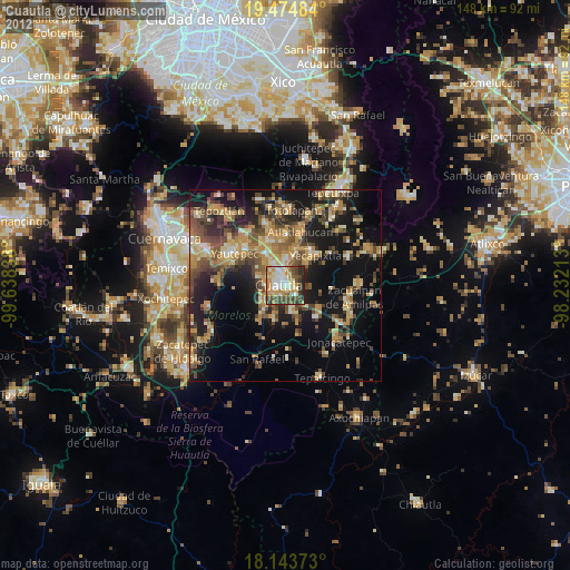
» Earth at Night: Flat Maps 2012, 2016