Ciudad Mendoza night lights from space
Night Light of Ciudad Mendoza (Veracruz) from space (Mexico) Src. Average luminocity for 10x10km area is 38.3052% and for 50x50km: 15.0853%.
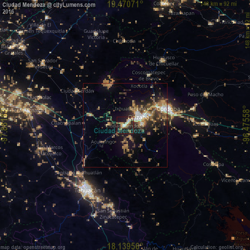
Analysis of Ciudad Mendoza night lights 2016
Square area 10x10 km:
 3.25%
3.25%90-99
5.84%80-89
4.76%70-79
4.11%60-69
9.09%50-59
4.98%40-49
5.63%30-39
5.63%20-29
14.94%10-19
39.83%0-9
1.95%Square area 50x50 km:
1.03%90-99
1.57%80-89
1.5%70-79
2.18%60-69
3.66%50-59
1.84%40-49
3.57%30-39
3.25%20-29
4.1%10-19
9.51%0-9
67.78%Clear (daylight) street map image can be seen on geolist.org.
Map coordinates:
19° 28' 14.6" North, 97° 52' 54.6" West
18° 48' 23.2" North, 97° 10' 43.3" West
18° 8' 22.4" North, 96° 28' 32.1" West
Some cities around Ciudad Mendoza sort by population:
• Orizaba
9.7 km =6 mi,  58°
58°
• Río Blanco
3.6 km =2.2 mi,  41°
41°
• Nogales
2.9 km =1.8 mi,  34°
34°
• Palmira
11.1 km =6.9 mi, 39°
• Maltrata
10.2 km =6.3 mi,  272°
272°
• Rafael Delgado
11.3 km =7 mi,  87°
87°
• Jalapilla
9.7 km =6 mi,  76°
76°
• Unión y Progreso
9.7 km =6 mi, 40°
3530592 (p: 35,641)
Sources (retrieved 2019-11-25):
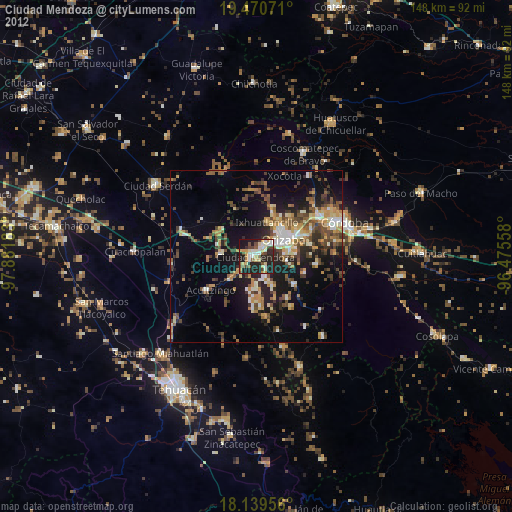
» Earth at Night: Flat Maps 2012, 2016