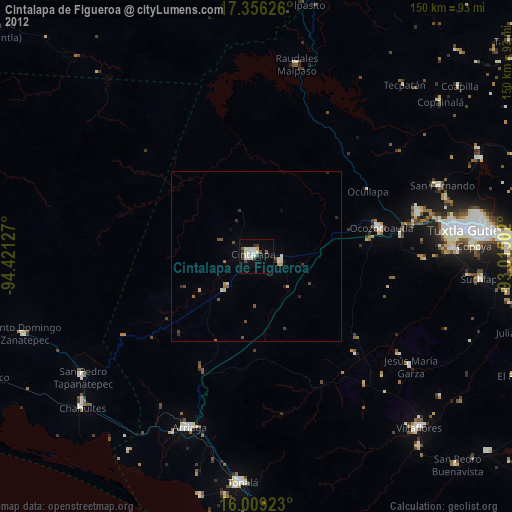
Cintalapa de Figueroa night lights from space
Night Light of Cintalapa de Figueroa (Chiapas) from space (Mexico) Src. Average luminocity for 10x10km area is 24.3983% and for 50x50km: 1.9231%.
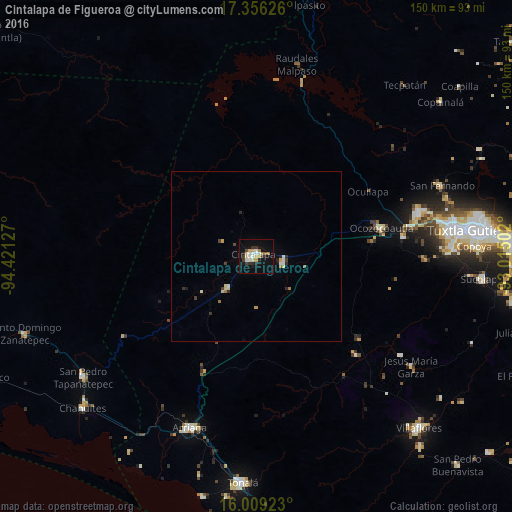
Analysis of Cintalapa de Figueroa night lights 2016
Square area 10x10 km:
 2.81%
2.81%90-99
5.84%80-89
3.9%70-79
2.16%60-69
2.6%50-59
0.87%40-49
0.87%30-39
4.98%20-29
3.03%10-19
23.59%0-9
49.35%Square area 50x50 km:
0.14%90-99
0.43%80-89
0.29%70-79
0.17%60-69
0.23%50-59
0.07%40-49
0.13%30-39
0.35%20-29
0.31%10-19
1.04%0-9
96.83%Clear (daylight) street map image can be seen on geolist.org.
Map coordinates:
17° 21' 22.5" North, 94° 25' 16.6" West
16° 41' 2.1" North, 93° 43' 5.3" West
16° 0' 33.2" North, 93° 0' 54.1" West
Some cities around Cintalapa de Figueroa sort by population:
• Ocozocoautla de Espinosa
37.6 km =23.4 mi,  76°
76°
• Berriozábal
49.2 km =30.6 mi,  74°
74°
• Arriaga
53.5 km =33.2 mi,  201°
201°
• Jiquipilas
7.8 km =4.8 mi,  103°
103°
• San Fernando
58.2 km =36.2 mi, 69°
• El Espinal
54.1 km =33.6 mi,  229°
229°
• Raudales Malpaso
57.3 km =35.6 mi,  12°
12°
• Jesús María Garza
55.4 km =34.4 mi,  125°
125°
3530617 (p: 42,467)
Sources (retrieved 2019-11-25):
» Earth at Night: Flat Maps 2012, 2016