Arriaga night lights from space
Night Light of Arriaga (Chiapas) from space (Mexico) Src. Average luminocity for 10x10km area is 19.6798% and for 50x50km: 2.984%.
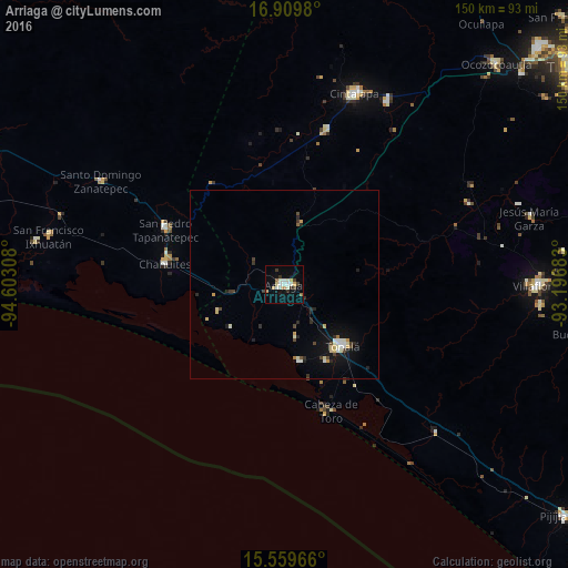
Analysis of Arriaga night lights 2016
Square area 10x10 km:
 1.24%
1.24%90-99
6.82%80-89
2.27%70-79
2.48%60-69
1.45%50-59
0.62%40-49
1.45%30-39
3.72%20-29
0.62%10-19
9.09%0-9
70.25%Square area 50x50 km:
0.19%90-99
0.75%80-89
0.36%70-79
0.36%60-69
0.13%50-59
0.09%40-49
0.41%30-39
0.46%20-29
0.56%10-19
1.93%0-9
94.75%Clear (daylight) street map image can be seen on geolist.org.
Map coordinates:
16° 54' 35.3" North, 94° 36' 11.1" West
16° 14' 9.2" North, 93° 53' 59.8" West
15° 33' 34.8" North, 93° 11' 48.6" West
Some cities around Arriaga sort by population:
• Cintalapa de Figueroa
53.5 km =33.2 mi,  21°
21°
• Tonalá
22.4 km =13.9 mi,  136°
136°
• Chahuites
32 km =19.9 mi,  280°
280°
• Jiquipilas
55.1 km =34.2 mi,  29°
29°
• Chahuite
31.1 km =19.3 mi, 283°
• El Espinal
26.3 km =16.3 mi,  304°
304°
• San Pedro Tapanatepec
34.7 km =21.6 mi, 295°
• Paredón
20.9 km =13 mi,  170°
170°
3816739 (p: 24,447)
Sources (retrieved 2019-11-25):
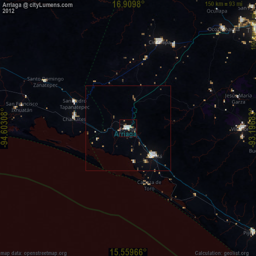
» Earth at Night: Flat Maps 2012, 2016