Catemaco night lights from space
Night Light of Catemaco (Veracruz) from space (Mexico) Src. Average luminocity for 10x10km area is 6.7169% and for 50x50km: 2.3389%.
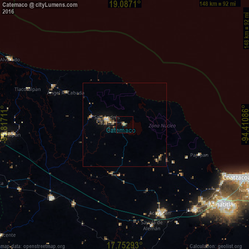
Analysis of Catemaco night lights 2016
Square area 10x10 km:
 0%
0%90-99
0.21%80-89
1.24%70-79
1.86%60-69
0.83%50-59
0.83%40-49
1.24%30-39
0.83%20-29
1.65%10-19
0%0-9
91.32%Square area 50x50 km:
0.07%90-99
0.19%80-89
0.21%70-79
0.45%60-69
0.23%50-59
0.4%40-49
0.67%30-39
0.52%20-29
0.44%10-19
1.25%0-9
95.56%Clear (daylight) street map image can be seen on geolist.org.
Map coordinates:
19° 5' 13.6" North, 95° 49' 1.6" West
18° 25' 16.7" North, 95° 6' 50.3" West
17° 45' 10.5" North, 94° 24' 39.1" West
Some cities around Catemaco sort by population:
• San Andrés Tuxtla
10.9 km =6.8 mi,  286°
286°
• Santiago Tuxtla
20.3 km =12.6 mi,  284°
284°
• Ángel R. Cabada
40 km =24.9 mi,  299°
299°
• Tatahuicapan
42 km =26.1 mi,  117°
117°
• Juan Díaz Covarrubias
30.1 km =18.7 mi,  194°
194°
• Mecayapan
36.7 km =22.8 mi,  127°
127°
• Soteapan
32.9 km =20.4 mi, 129°
• Comoapan
6.5 km =4 mi,  255°
255°
3531416 (p: 27,615)
Sources (retrieved 2019-11-25):
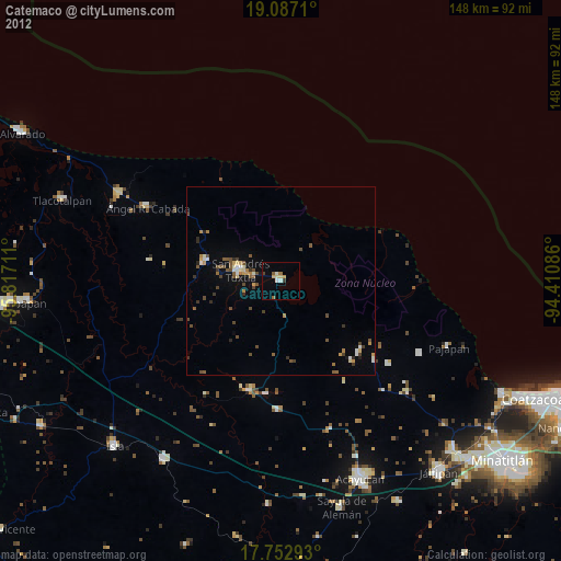
» Earth at Night: Flat Maps 2012, 2016