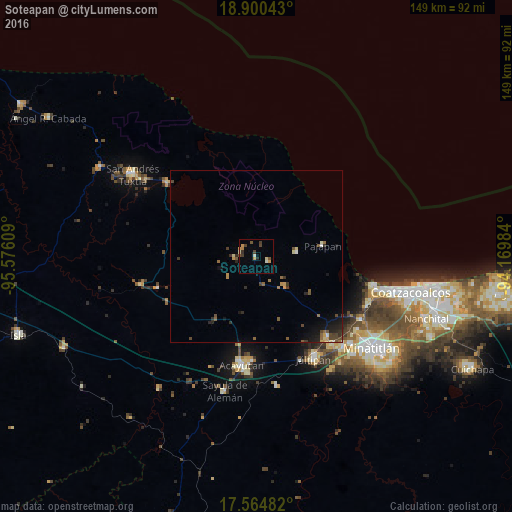
Soteapan night lights from space
Night Light of Soteapan (Veracruz) from space (Mexico) Src. Average luminocity for 10x10km area is 11.3788% and for 50x50km: 2.4561%.
Analysis of Soteapan night lights 2016
Square area 10x10 km:
 0%
0%90-99
1.95%80-89
1.08%70-79
3.46%60-69
0.43%50-59
1.3%40-49
3.46%30-39
2.16%20-29
1.3%10-19
0%0-9
84.85%Square area 50x50 km:
0.03%90-99
0.23%80-89
0.27%70-79
0.43%60-69
0.23%50-59
0.55%40-49
0.63%30-39
0.47%20-29
0.6%10-19
1.27%0-9
95.29%Clear (daylight) street map image can be seen on geolist.org.
Map coordinates:
18° 54' 1.5" North, 95° 34' 33.9" West
18° 14' 2.1" North, 94° 52' 22.7" West
17° 33' 53.4" North, 94° 10' 11.4" West
Some cities around Soteapan sort by population:
• Acayucan
31.9 km =19.8 mi,  187°
187°
• Catemaco
32.9 km =20.4 mi,  309°
309°
• Oteapan
33.8 km =21 mi,  139°
139°
• Pajapan
19.4 km =12.1 mi,  80°
80°
• Tatahuicapan
11.9 km =7.4 mi, 83°
• Chinameca
31.2 km =19.4 mi, 139°
• Mecayapan
4 km =2.5 mi,  112°
112°
• Soconusco
30.1 km =18.7 mi,  181°
181°
3516526 (p: 5,118)
Sources (retrieved 2019-11-25):
» Earth at Night: Flat Maps 2012, 2016