Apaseo el Alto night lights from space
Night Light of Apaseo el Alto (Guanajuato) from space (Mexico) Src. Average luminocity for 10x10km area is 38.5587% and for 50x50km: 33.5656%.
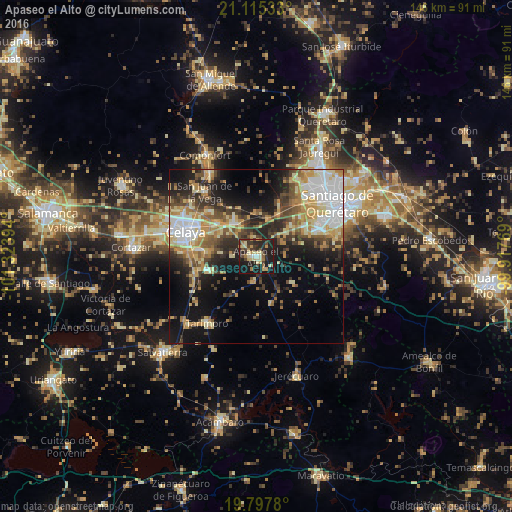
Analysis of Apaseo el Alto night lights 2016
Square area 10x10 km:
 0.95%
0.95%90-99
3.6%80-89
10.98%70-79
4.17%60-69
5.3%50-59
3.41%40-49
7.39%30-39
9.28%20-29
18.75%10-19
35.23%0-9
0.95%Square area 50x50 km:
5.56%90-99
4.61%80-89
6.05%70-79
5.3%60-69
4.61%50-59
3.43%40-49
5.76%30-39
5.18%20-29
7.95%10-19
15.4%0-9
36.15%Clear (daylight) street map image can be seen on geolist.org.
Map coordinates:
21° 6' 55.2" North, 101° 19' 26.2" West
20° 27' 28.7" North, 100° 37' 14.9" West
19° 47' 52.1" North, 99° 55' 3.7" West
Some cities around Apaseo el Alto sort by population:
• Celaya
21.6 km =13.4 mi,  289°
289°
• El Pueblito
21.1 km =13.1 mi,  64°
64°
• San Miguel Octopan
18.5 km =11.5 mi,  314°
314°
• San Pedro Mártir
23.7 km =14.7 mi,  41°
41°
• Rincón de Tamayo
14.5 km =9 mi,  254°
254°
• San Juan de la Vega
23.7 km =14.7 mi,  321°
321°
• La Negreta
19.3 km =12 mi,  66°
66°
• San José de Agua Azul
4.8 km =3 mi, 311°
4018404 (p: 27,991)
Sources (retrieved 2019-11-25):
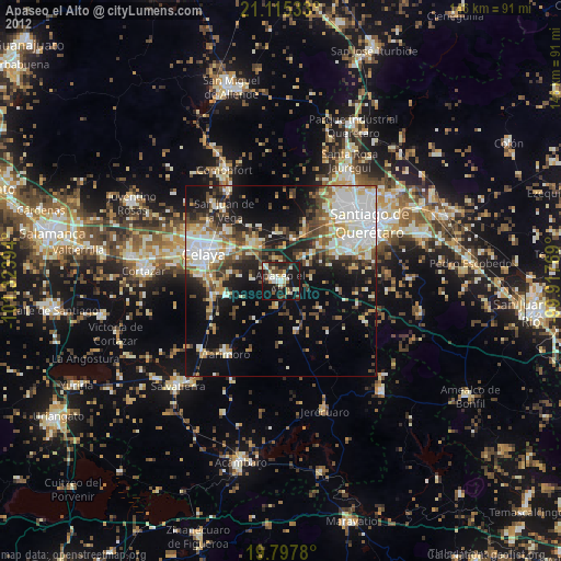
» Earth at Night: Flat Maps 2012, 2016