Aldama night lights from space
Night Light of Aldama (Tamaulipas) from space (Mexico) Src. Average luminocity for 10x10km area is 6.6825% and for 50x50km: 0.421%.
Analysis of Aldama night lights 2016
Square area 10x10 km:
 0%
0%90-99
0.4%80-89
1.98%70-79
0.99%60-69
1.79%50-59
1.98%40-49
0%30-39
0.79%20-29
0.79%10-19
0.79%0-9
90.48%Square area 50x50 km:
0%90-99
0.02%80-89
0.08%70-79
0.07%60-69
0.13%50-59
0.12%40-49
0.06%30-39
0.1%20-29
0.03%10-19
0.03%0-9
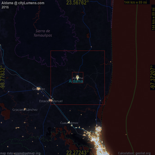
99.37%Clear (daylight) street map image can be seen on geolist.org.
Map coordinates:
23° 34' 3.4" North, 98° 46' 42" West
22° 55' 17.7" North, 98° 4' 30.7" West
22° 16' 20.7" North, 97° 22' 19.5" West
Some cities around Aldama sort by population:
• Tampico
73.6 km =45.7 mi,  164°
164°
• Ciudad Madero
76.2 km =47.3 mi, 161°
• Miramar
64.9 km =40.3 mi, 163°
• Altamira
60.5 km =37.6 mi,  166°
166°
• Ursulo Galván
33.2 km =20.6 mi,  229°
229°
• González
37.5 km =23.3 mi,  253°
253°
• Moralillo
79.2 km =49.2 mi, 167°
• Cuauhtémoc
42.7 km =26.5 mi,  190°
190°
3533079 (p: 13,661)
Sources (retrieved 2019-11-25):
» Earth at Night: Flat Maps 2012, 2016