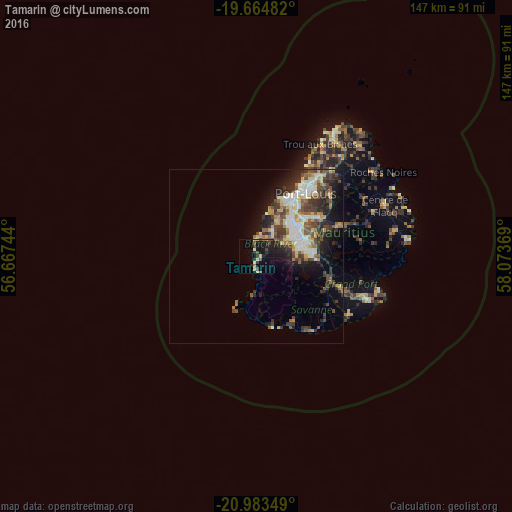
Tamarin night lights from space
Night Light of Tamarin (Black River) from space (Mauritius) Src. Average luminocity for 10x10km area is 16.9545% and for 50x50km: 13.005%.
Analysis of Tamarin night lights 2016
Square area 10x10 km:
 0.19%
0.19%90-99
1.33%80-89
4.36%70-79
0.19%60-69
2.08%50-59
2.46%40-49
3.98%30-39
4.55%20-29
3.41%10-19
16.67%0-9
60.8%Square area 50x50 km:
1.55%90-99
2.58%80-89
1.87%70-79
1.07%60-69
1.6%50-59
1.69%40-49
2.74%30-39
2.71%20-29
3.77%10-19
6.16%0-9
74.26%Clear (daylight) street map image can be seen on geolist.org.
Map coordinates:
19° 39' 53.4" South, 56° 40' 2.8" East
20° 19' 32" South, 57° 22' 14" East
20° 59' 0.6" South, 58° 4' 25.3" East
Some cities around Tamarin sort by population:
• Beau Bassin-Rose Hill
14.3 km =8.9 mi,  44°
44°
• Vacoas
11.6 km =7.2 mi,  74°
74°
• Curepipe
16.2 km =10.1 mi,  86°
86°
• Quatre Bornes
13.2 km =8.2 mi,  58°
58°
• Bambous
8.5 km =5.3 mi,  25°
25°
• Pailles
19.2 km =11.9 mi, 39°
• Moka
17.6 km =10.9 mi,  47°
47°
• Petite Rivière
16.5 km =10.3 mi, 28°
933982 (p: 3,764)
Sources (retrieved 2019-11-25):
» Earth at Night: Flat Maps 2012, 2016