Curepipe night lights from space
Night Light of Curepipe (Plaines Wilhems) from space (Mauritius) Src. Average luminocity for 10x10km area is 48.5754% and for 50x50km: 16.2465%.
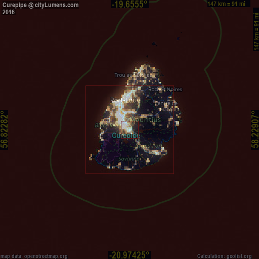
Analysis of Curepipe night lights 2016
Square area 10x10 km:
 5.95%
5.95%90-99
19.44%80-89
4.56%70-79
4.96%60-69
4.17%50-59
3.17%40-49
7.74%30-39
3.57%20-29
12.9%10-19
28.97%0-9
4.56%Square area 50x50 km:
1.59%90-99
2.75%80-89
2.12%70-79
1.46%60-69
1.95%50-59
2.13%40-49
3.57%30-39
3.91%20-29
5.01%10-19
7.91%0-9
67.61%Clear (daylight) street map image can be seen on geolist.org.
Map coordinates:
19° 39' 19.8" South, 56° 49' 22.2" East
20° 18' 58.6" South, 57° 31' 33.4" East
20° 58' 27.3" South, 58° 13' 44.7" East
Some cities around Curepipe sort by population:
• Beau Bassin-Rose Hill
11.1 km =6.9 mi,  325°
325°
• Vacoas
5.4 km =3.4 mi,  292°
292°
• Quatre Bornes
7.6 km =4.7 mi,  320°
320°
• Saint Pierre
11 km =6.8 mi,  357°
357°
• Moka
11.3 km =7 mi,  343°
343°
• Nouvelle France
7.1 km =4.4 mi,  148°
148°
• Dagotière
8.8 km =5.5 mi,  25°
25°
• Quartier Militaire
10.6 km =6.6 mi,  44°
44°
934570 (p: 84,200)
Sources (retrieved 2019-11-25):
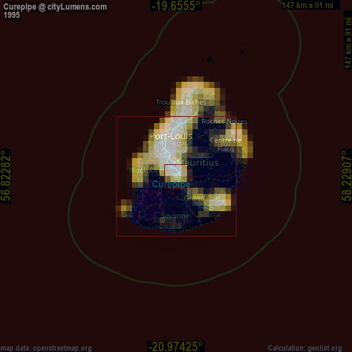
» NASA, Earths city lights 1995
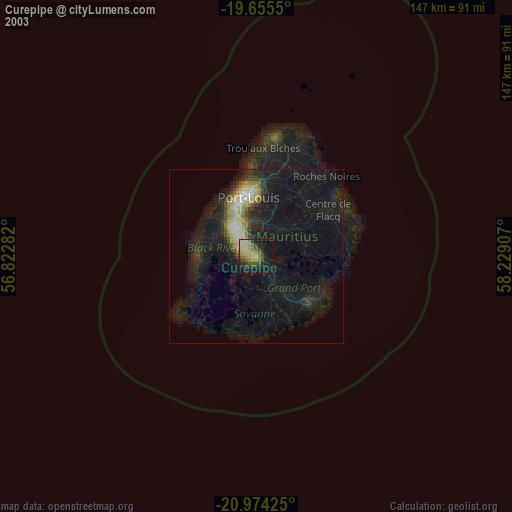
» NASA city lights 2003
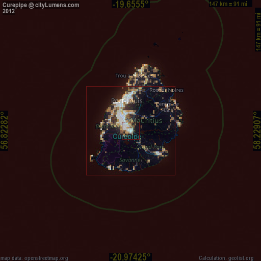
» Earth at Night: Flat Maps 2012, 2016