Sebastopol night lights from space
Night Light of Sebastopol (Flacq) from space (Mauritius) Src. Average luminocity for 10x10km area is 5.0675% and for 50x50km: 14.6554%.
Analysis of Sebastopol night lights 2016
Square area 10x10 km:
 0%
0%90-99
0%80-89
0%70-79
0%60-69
0.79%50-59
1.19%40-49
1.19%30-39
2.18%20-29
3.37%10-19
0%0-9
91.27%Square area 50x50 km:
1.6%90-99
2.69%80-89
1.64%70-79
1.38%60-69
1.67%50-59
1.88%40-49
3.12%30-39
3.57%20-29
4.69%10-19
6.3%0-9
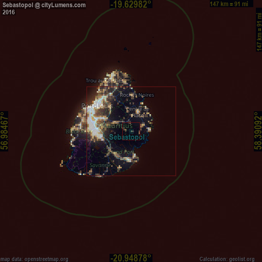
71.46%Clear (daylight) street map image can be seen on geolist.org.
Map coordinates:
19° 37' 47.4" South, 56° 59' 4.8" East
20° 17' 26.5" South, 57° 41' 16" East
20° 56' 55.6" South, 58° 23' 27.3" East
Some cities around Sebastopol sort by population:
• Centre de Flacq
11.6 km =7.2 mi,  13°
13°
• Bel Air Rivière Sèche
7.4 km =4.6 mi,  60°
60°
• Mahébourg
13.1 km =8.1 mi,  174°
174°
• Lalmatie
11.6 km =7.2 mi,  346°
346°
• Montagne Blanche
3.1 km =1.9 mi,  281°
281°
• Quartier Militaire
10.6 km =6.6 mi,  296°
296°
• Ecroignard
8.8 km =5.5 mi,  35°
35°
• Quatre Cocos
13.4 km =8.3 mi, 42°
934013 (p: 5,745)
Sources (retrieved 2019-11-25):
» Earth at Night: Flat Maps 2012, 2016