Ecroignard night lights from space
Night Light of Ecroignard (Flacq) from space (Mauritius) Src. Average luminocity for 10x10km area is 19.0317% and for 50x50km: 12.2849%.
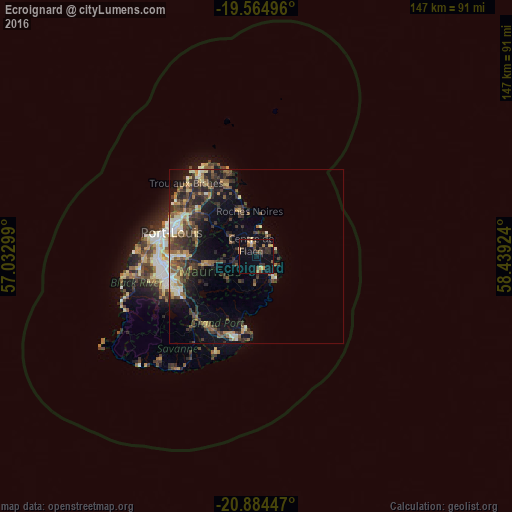
Analysis of Ecroignard night lights 2016
Square area 10x10 km:
 0.2%
0.2%90-99
0.6%80-89
2.58%70-79
3.97%60-69
2.58%50-59
2.18%40-49
3.77%30-39
5.75%20-29
4.96%10-19
11.9%0-9
61.51%Square area 50x50 km:
0.65%90-99
1.65%80-89
1.42%70-79
1.38%60-69
1.55%50-59
1.91%40-49
3.15%30-39
3.46%20-29
4.63%10-19
6.37%0-9
73.81%Clear (daylight) street map image can be seen on geolist.org.
Map coordinates:
19° 33' 53.9" South, 57° 1' 58.8" East
20° 13' 34" South, 57° 44' 10" East
20° 53' 4.1" South, 58° 26' 21.3" East
Some cities around Ecroignard sort by population:
• Centre de Flacq
4.6 km =2.9 mi,  330°
330°
• Bel Air Rivière Sèche
3.8 km =2.4 mi,  157°
157°
• Lalmatie
8.8 km =5.5 mi,  297°
297°
• Montagne Blanche
10.4 km =6.5 mi,  230°
230°
• Poste de Flacq
7 km =4.3 mi,  355°
355°
• Bon Accueil
10.3 km =6.4 mi,  306°
306°
• Sebastopol
8.8 km =5.5 mi,  215°
215°
• Quatre Cocos
4.8 km =3 mi,  55°
55°
1106660 (p: 5,952)
Sources (retrieved 2019-11-25):
» Earth at Night: Flat Maps 2012, 2016