Quatre Cocos night lights from space
Night Light of Quatre Cocos (Flacq) from space (Mauritius) Src. Average luminocity for 10x10km area is 15.3968% and for 50x50km: 8.7345%.
Analysis of Quatre Cocos night lights 2016
Square area 10x10 km:
 0%
0%90-99
1.98%80-89
0.99%70-79
1.39%60-69
1.59%50-59
1.59%40-49
4.96%30-39
5.56%20-29
5.36%10-19
9.52%0-9
67.06%Square area 50x50 km:
0.12%90-99
0.59%80-89
0.93%70-79
1.04%60-69
1.19%50-59
1.29%40-49
2.43%30-39
2.92%20-29
4.31%10-19
5.68%0-9
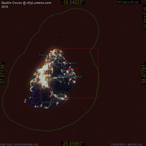
79.5%Clear (daylight) street map image can be seen on geolist.org.
Map coordinates:
19° 32' 24.9" South, 57° 4' 16.9" East
20° 12' 5.4" South, 57° 46' 28.1" East
20° 51' 35.9" South, 58° 28' 39.4" East
Some cities around Quatre Cocos sort by population:
• Centre de Flacq
6.4 km =4 mi,  281°
281°
• Bel Air Rivière Sèche
6.8 km =4.2 mi,  202°
202°
• Lalmatie
11.9 km =7.4 mi, 276°
• Poste de Flacq
6.3 km =3.9 mi,  313°
313°
• Bon Accueil
12.8 km =8 mi,  285°
285°
• Laventure
11.9 km =7.4 mi,  301°
301°
• Ecroignard
4.8 km =3 mi,  235°
235°
• Roches Noire
12 km =7.5 mi,  327°
327°
1106643 (p: 5,724)
Sources (retrieved 2019-11-25):
» Earth at Night: Flat Maps 2012, 2016