Port Mathurin night lights from space
Night Light of Port Mathurin (Rodrigues) from space (Mauritius) Src. Average luminocity for 10x10km area is 8.4401% and for 50x50km: 0.3791%.
Analysis of Port Mathurin night lights 2016
Square area 10x10 km:
 0.41%
0.41%90-99
2.07%80-89
1.65%70-79
0%60-69
1.03%50-59
1.65%40-49
1.45%30-39
1.03%20-29
2.07%10-19
2.27%0-9
86.36%Square area 50x50 km:
0.02%90-99
0.08%80-89
0.06%70-79
0%60-69
0.04%50-59
0.06%40-49
0.09%30-39
0.04%20-29
0.15%10-19
0.09%0-9
99.37%Clear (daylight) street map image can be seen on geolist.org.
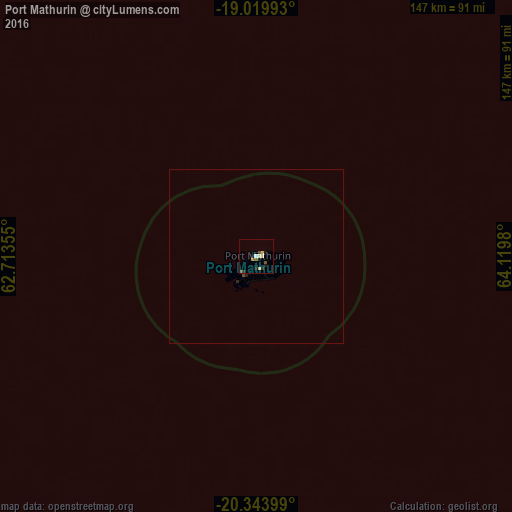
Map coordinates:
19° 1' 11.7" South, 62° 42' 48.8" East
19° 40' 60" South, 63° 25' 0" East
20° 20' 38.4" South, 64° 7' 11.3" East
Some cities around Port Mathurin sort by population:
• Centre de Flacq
598.7 km =372 mi,  264°
264°
• Bel Air Rivière Sèche
595.6 km =370.1 mi, 263°
• Rivière du Rempart
601.1 km =373.5 mi,  265°
265°
• Poste de Flacq
596.8 km =370.8 mi, 264°
• Ecroignard
596.7 km =370.8 mi, 264°
• Roches Noire
598.3 km =371.8 mi, 265°
• Quatre Cocos
592.5 km =368.2 mi, 264°
• Cargados Carajos
524.3 km =325.8 mi,  310°
310°
1545752 (p: 6,000)
Sources (retrieved 2019-11-25):
» Earth at Night: Flat Maps 2012, 2016