Cargados Carajos night lights from space
Night Light of Cargados Carajos from space (Mauritius) Src. Average luminocity for 10x10km area is 0% and for 50x50km: 0%.
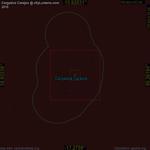
Analysis of Cargados Carajos night lights 2016
Square area 10x10 km:
 0%
0%90-99
0%80-89
0%70-79
0%60-69
0%50-59
0%40-49
0%30-39
0%20-29
0%10-19
0%0-9
100%Square area 50x50 km:
0%90-99
0%80-89
0%70-79
0%60-69
0%50-59
0%40-49
0%30-39
0%20-29
0%10-19
0%0-9
100%Clear (daylight) street map image can be seen on geolist.org.
Map coordinates:
15° 55' 41.9" South, 58° 57' 19.4" East
16° 36' 11.8" South, 59° 39' 30.6" East
17° 16' 33.2" South, 60° 21' 41.9" East
Some cities around Cargados Carajos sort by population:
• Goodlands
436.8 km =271.4 mi,  209°
209°
• Rivière du Rempart
441.4 km =274.3 mi, 208°
• Grand Baie
438.5 km =272.5 mi, 210°
• Petit Raffray
436.5 km =271.2 mi, 209°
• Grand Gaube
433.2 km =269.2 mi, 209°
• Piton
442.9 km =275.2 mi, 208°
• Fond du Sac
441.1 km =274.1 mi, 209°
• Roches Noire
440.8 km =273.9 mi, 207°
8199111 (p: 63)
Sources (retrieved 2019-11-25):
» Earth at Night: Flat Maps 2012, 2016