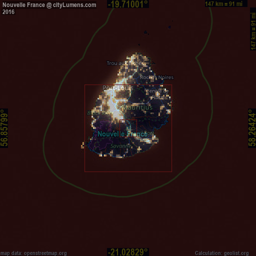
Nouvelle France night lights from space
Night Light of Nouvelle France (Grand Port) from space (Mauritius) Src. Average luminocity for 10x10km area is 17.3277% and for 50x50km: 14.764%.
Analysis of Nouvelle France night lights 2016
Square area 10x10 km:
 0.95%
0.95%90-99
1.33%80-89
0.76%70-79
0.76%60-69
2.84%50-59
3.03%40-49
5.49%30-39
5.11%20-29
6.82%10-19
13.83%0-9
59.09%Square area 50x50 km:
1.52%90-99
2.63%80-89
1.87%70-79
1.28%60-69
1.74%50-59
2.15%40-49
2.96%30-39
3.43%20-29
4.2%10-19
6.89%0-9
71.33%Clear (daylight) street map image can be seen on geolist.org.
Map coordinates:
19° 42' 36" South, 56° 51' 28.8" East
20° 22' 14" South, 57° 33' 40" East
21° 1' 41.8" South, 58° 15' 51.3" East
Some cities around Nouvelle France sort by population:
• Vacoas
11.8 km =7.3 mi,  313°
313°
• Curepipe
7.1 km =4.4 mi,  328°
328°
• Rose Belle
5 km =3.1 mi,  131°
131°
• Plaine Magnien
13.1 km =8.1 mi,  120°
120°
• New Grove
6.9 km =4.3 mi, 127°
• Rivière des Anguilles
12.8 km =8 mi,  184°
184°
• Grand Bois
5.7 km =3.5 mi,  198°
198°
• Camp Diable
10.4 km =6.5 mi,  169°
169°
934229 (p: 7,238)
Sources (retrieved 2019-11-25):
» Earth at Night: Flat Maps 2012, 2016