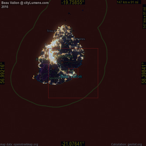
Beau Vallon night lights from space
Night Light of Beau Vallon (Grand Port) from space (Mauritius) Src. Average luminocity for 10x10km area is 19.0057% and for 50x50km: 9.1359%.
Analysis of Beau Vallon night lights 2016
Square area 10x10 km:
 0.95%
0.95%90-99
2.08%80-89
2.84%70-79
3.03%60-69
1.7%50-59
3.03%40-49
3.98%30-39
3.41%20-29
4.92%10-19
15.34%0-9
58.71%Square area 50x50 km:
0.93%90-99
1.72%80-89
0.97%70-79
0.9%60-69
1.1%50-59
1.4%40-49
1.72%30-39
2.01%20-29
2.55%10-19
3.93%0-9
82.77%Clear (daylight) street map image can be seen on geolist.org.
Map coordinates:
19° 45' 30.8" South, 56° 59' 31.8" East
20° 25' 8" South, 57° 41' 43" East
21° 4' 35.1" South, 58° 23' 54.3" East
Some cities around Beau Vallon sort by population:
• Mahébourg
1.3 km =0.8 mi,  22°
22°
• Rose Belle
10.5 km =6.5 mi,  281°
281°
• Plaine Magnien
2.9 km =1.8 mi,  245°
245°
• New Grove
8.6 km =5.3 mi, 277°
• Montagne Blanche
15.3 km =9.5 mi,  345°
345°
• Nouvelle France
15 km =9.3 mi,  291°
291°
• Sebastopol
14.3 km =8.9 mi,  356°
356°
• Camp Diable
13.1 km =8.1 mi, 248°
934753 (p: 7,016)
Sources (retrieved 2019-11-25):
» Earth at Night: Flat Maps 2012, 2016