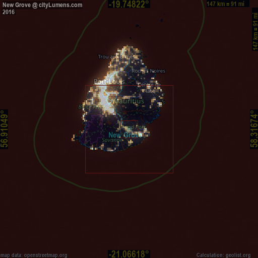
New Grove night lights from space
Night Light of New Grove (Grand Port) from space (Mauritius) Src. Average luminocity for 10x10km area is 18.4129% and for 50x50km: 11.8752%.
Analysis of New Grove night lights 2016
Square area 10x10 km:
 0%
0%90-99
0%80-89
1.14%70-79
1.14%60-69
4.36%50-59
5.49%40-49
5.3%30-39
7.39%20-29
4.36%10-19
11.36%0-9
59.47%Square area 50x50 km:
1.03%90-99
1.93%80-89
1.53%70-79
1.21%60-69
1.52%50-59
1.84%40-49
2.47%30-39
2.75%20-29
3.48%10-19
5.76%0-9
76.47%Clear (daylight) street map image can be seen on geolist.org.
Map coordinates:
19° 44' 53.6" South, 56° 54' 37.8" East
20° 24' 31" South, 57° 36' 49" East
21° 3' 58.2" South, 58° 19' 0.3" East
Some cities around New Grove sort by population:
• Mahébourg
9 km =5.6 mi,  89°
89°
• Rose Belle
2 km =1.2 mi,  297°
297°
• Plaine Magnien
6.3 km =3.9 mi,  111°
111°
• Rivière des Anguilles
10.7 km =6.6 mi,  217°
217°
• Grand Bois
7.3 km =4.5 mi,  261°
261°
• Nouvelle France
6.9 km =4.3 mi,  307°
307°
• Beau Vallon
8.6 km =5.3 mi,  97°
97°
• Camp Diable
7 km =4.3 mi,  210°
210°
934240 (p: 9,935)
Sources (retrieved 2019-11-25):
» Earth at Night: Flat Maps 2012, 2016