Xewkija night lights from space
Night Light of Xewkija (Ix-Xewkija) from space (Malta) Src. Average luminocity for 10x10km area is 33.4835% and for 50x50km: 8.9195%.
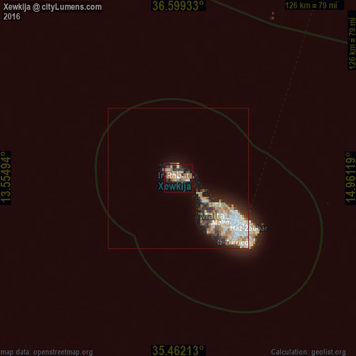
Analysis of Xewkija night lights 2016
Square area 10x10 km:
100  1.65%
1.65%
90-99 2.38%
80-89 6.23%
70-79 4.03%
60-69 13%
50-59 4.4%
40-49 4.58%
30-39 7.51%
20-29 2.38%
10-19 28.02%
0-9 25.82%
1.65%90-99
2.38%80-89
6.23%70-79
4.03%60-69
13%50-59
4.4%40-49
4.58%30-39
7.51%20-29
2.38%10-19
28.02%0-9
25.82%Square area 50x50 km:
100 1.63%
90-99 1.81%
80-89 0.91%
70-79 1.21%
60-69 1.82%
50-59 0.61%
40-49 1.09%
30-39 1.21%
20-29 1.76%
10-19 3.98%
0-9 83.97%
1.63%90-99
1.81%80-89
0.91%70-79
1.21%60-69
1.82%50-59
0.61%40-49
1.09%30-39
1.21%20-29
1.76%10-19
3.98%0-9
83.97%Clear (daylight) street map image can be seen on geolist.org.
Map coordinates:
36° 35' 57.6" North, 13° 33' 17.8" East
36° 1' 58" North, 14° 15' 29" East
35° 27' 43.7" North, 14° 57' 40.3" East
Some cities around Xewkija sort by population:
• Victoria
2.1 km =1.3 mi,  308°
308°
• Nadur
3.3 km =2.1 mi,  80°
80°
• Xagħra
2 km =1.2 mi,  16°
16°
• Għajnsielem
2.5 km =1.6 mi,  106°
106°
• Sannat
1.7 km =1.1 mi,  235°
235°
• Kerċem
3 km =1.9 mi,  289°
289°
• Fontana
2 km =1.2 mi,  284°
284°
• Munxar
2.2 km =1.4 mi,  262°
262°
2562274 (p: 3,303)
Sources (retrieved 2019-11-25):
» Earth at Night: Flat Maps 2012, 2016