Nadur night lights from space
Night Light of Nadur (In-Nadur) from space (Malta) Src. Average luminocity for 10x10km area is 24.6538% and for 50x50km: 9.7645%.
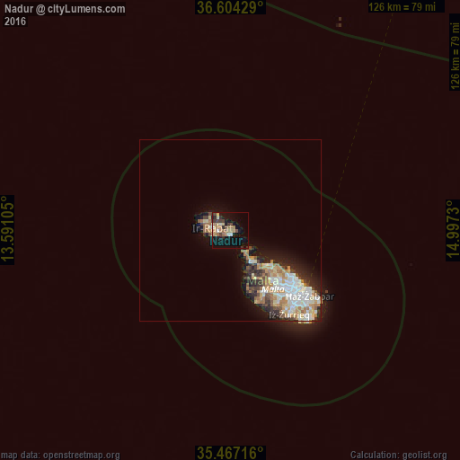
Analysis of Nadur night lights 2016
Square area 10x10 km:
100  1.47%
1.47%
90-99 1.83%
80-89 3.48%
70-79 3.11%
60-69 8.61%
50-59 2.01%
40-49 3.66%
30-39 5.86%
20-29 2.01%
10-19 22.16%
0-9 45.79%
1.47%90-99
1.83%80-89
3.48%70-79
3.11%60-69
8.61%50-59
2.01%40-49
3.66%30-39
5.86%20-29
2.01%10-19
22.16%0-9
45.79%Square area 50x50 km:
100 1.78%
90-99 1.98%
80-89 1.1%
70-79 1.34%
60-69 1.9%
50-59 0.68%
40-49 1.12%
30-39 1.32%
20-29 2.08%
10-19 4.29%
0-9 82.42%
1.78%90-99
1.98%80-89
1.1%70-79
1.34%60-69
1.9%50-59
0.68%40-49
1.12%30-39
1.32%20-29
2.08%10-19
4.29%0-9
82.42%Clear (daylight) street map image can be seen on geolist.org.
Map coordinates:
36° 36' 15.4" North, 13° 35' 27.8" East
36° 2' 16" North, 14° 17' 39" East
35° 28' 1.8" North, 14° 59' 50.3" East
Some cities around Nadur sort by population:
• Victoria
5 km =3.1 mi,  278°
278°
• Xagħra
3 km =1.9 mi,  296°
296°
• Xewkija
3.3 km =2.1 mi,  260°
260°
• Għajnsielem
1.5 km =0.9 mi,  213°
213°
• Sannat
4.9 km =3 mi,  252°
252°
• Kerċem
6.1 km =3.8 mi,  274°
274°
• Fontana
5.2 km =3.2 mi, 269°
• Munxar
5.5 km =3.4 mi, 261°
2562687 (p: 3,933)
Sources (retrieved 2019-11-25):
» Earth at Night: Flat Maps 2012, 2016