Sannat night lights from space
Night Light of Sannat from space (Malta) Src. Average luminocity for 10x10km area is 29.6319% and for 50x50km: 8.5228%.
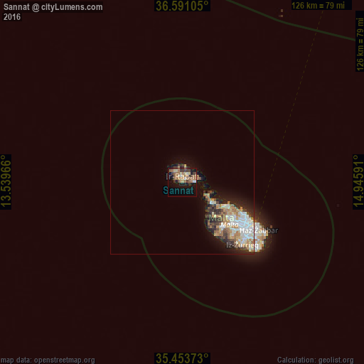
Analysis of Sannat night lights 2016
Square area 10x10 km:
100  1.47%
1.47%
90-99 2.2%
80-89 5.31%
70-79 3.85%
60-69 10.99%
50-59 4.95%
40-49 3.11%
30-39 6.59%
20-29 1.83%
10-19 21.98%
0-9 37.73%
1.47%90-99
2.2%80-89
5.31%70-79
3.85%60-69
10.99%50-59
4.95%40-49
3.11%30-39
6.59%20-29
1.83%10-19
21.98%0-9
37.73%Square area 50x50 km:
100 1.45%
90-99 1.61%
80-89 0.93%
70-79 1.19%
60-69 1.78%
50-59 0.61%
40-49 1.06%
30-39 1.18%
20-29 1.83%
10-19 4.01%
0-9 84.34%
1.45%90-99
1.61%80-89
0.93%70-79
1.19%60-69
1.78%50-59
0.61%40-49
1.06%30-39
1.18%20-29
1.83%10-19
4.01%0-9
84.34%Clear (daylight) street map image can be seen on geolist.org.
Map coordinates:
36° 35' 27.8" North, 13° 32' 22.8" East
36° 1' 28" North, 14° 14' 34" East
35° 27' 13.4" North, 14° 56' 45.3" East
Some cities around Sannat sort by population:
• Victoria
2.2 km =1.4 mi,  352°
352°
• Xagħra
3.4 km =2.1 mi,  34°
34°
• Xewkija
1.7 km =1.1 mi,  55°
55°
• Għajnsielem
3.8 km =2.4 mi,  86°
86°
• Saint Lucia
3.1 km =1.9 mi,  312°
312°
• Kerċem
2.4 km =1.5 mi,  323°
323°
• Fontana
1.6 km =1 mi,  337°
337°
• Munxar
1.1 km =0.7 mi, 306°
2562545 (p: 1,681)
Sources (retrieved 2019-11-25):
» Earth at Night: Flat Maps 2012, 2016