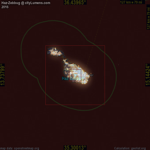
Haz-Zebbug night lights from space
Night Light of Haz-Zebbug (Ħaż-Żebbuġ) from space (Malta) Src. Average luminocity for 10x10km area is 75.1795% and for 50x50km: 10.3897%.
Analysis of Haz-Zebbug night lights 2016
Square area 10x10 km:
100  22.71%
90-99 21.98%
80-89 6.41%
70-79 11.36%
60-69 11.54%
50-59 5.49%
40-49 6.59%
30-39 5.31%
20-29 4.95%
10-19 3.66%
0-9 0%
22.71%90-99
21.98%80-89
6.41%70-79
11.36%60-69
11.54%50-59
5.49%40-49
6.59%30-39
5.31%20-29
4.95%10-19
3.66%0-9
0%Square area 50x50 km:
100 1.79%
90-99 2%
80-89 1.14%
70-79 1.4%
60-69 1.94%
50-59 0.68%
40-49 1.13%
30-39 1.39%
20-29 2.55%
10-19 5.97%
0-9 80.03%
1.79%90-99
2%80-89
1.14%70-79
1.4%60-69
1.94%50-59
0.68%40-49
1.13%30-39
1.39%20-29
2.55%10-19
5.97%0-9
80.03%Clear (daylight) street map image can be seen on geolist.org.
Map coordinates:
36° 26' 22.7" North, 13° 44' 16.8" East
35° 52' 19" North, 14° 26' 28" East
35° 18' 0.5" North, 15° 8' 39.3" East
Some cities around Haz-Zebbug sort by population:
• Birkirkara
3.3 km =2.1 mi,  32°
32°
• Qormi
2.8 km =1.7 mi,  80°
80°
• Attard
2 km =1.2 mi,  3°
3°
• Siġġiewi
1.9 km =1.2 mi,  193°
193°
• Santa Venera
3.6 km =2.2 mi,  54°
54°
• Balzan
3.4 km =2.1 mi,  21°
21°
• Mqabba
3.6 km =2.2 mi,  137°
137°
• Lija
3.2 km =2 mi,  8°
8°
2562261 (p: 11,063)
Sources (retrieved 2019-11-25):
» Earth at Night: Flat Maps 2012, 2016