Lija night lights from space
Night Light of Lija from space (Malta) Src. Average luminocity for 10x10km area is 79.7509% and for 50x50km: 10.4171%.
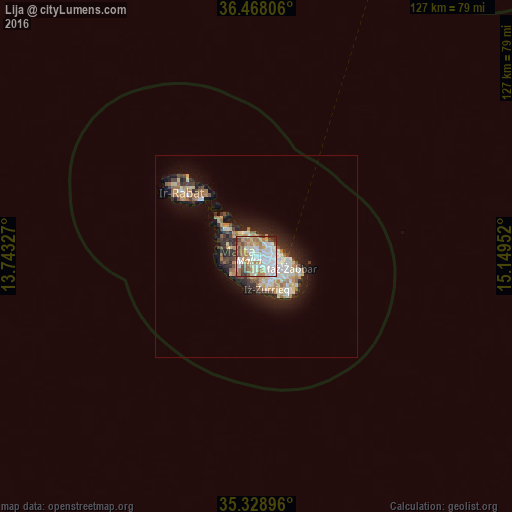
Analysis of Lija night lights 2016
Square area 10x10 km:
100  23.81%
90-99 23.63%
80-89 7.14%
70-79 11.36%
60-69 17.22%
50-59 4.4%
40-49 7.51%
30-39 3.66%
20-29 1.28%
10-19 0%
0-9 0%
23.81%90-99
23.63%80-89
7.14%70-79
11.36%60-69
17.22%50-59
4.4%40-49
7.51%30-39
3.66%20-29
1.28%10-19
0%0-9
0%Square area 50x50 km:
100 1.79%
90-99 2%
80-89 1.14%
70-79 1.4%
60-69 1.94%
50-59 0.68%
40-49 1.13%
30-39 1.39%
20-29 2.55%
10-19 5.98%
0-9 80.02%
1.79%90-99
2%80-89
1.14%70-79
1.4%60-69
1.94%50-59
0.68%40-49
1.13%30-39
1.39%20-29
2.55%10-19
5.98%0-9
80.02%Clear (daylight) street map image can be seen on geolist.org.
Map coordinates:
36° 28' 5" North, 13° 44' 35.8" East
35° 54' 2" North, 14° 26' 47" East
35° 19' 44.3" North, 15° 8' 58.3" East
Some cities around Lija sort by population:
• Birkirkara
1.4 km =0.9 mi,  105°
105°
• Mosta
2.1 km =1.3 mi,  297°
297°
• Saint John
2.7 km =1.7 mi,  78°
78°
• Naxxar
1.5 km =0.9 mi,  350°
350°
• Attard
1.3 km =0.8 mi,  196°
196°
• L-Iklin
0.8 km =0.5 mi,  60°
60°
• Balzan
0.8 km =0.5 mi,  92°
92°
• Hal Gharghur
2.7 km =1.7 mi,  9°
9°
2562801 (p: 2,471)
Sources (retrieved 2019-11-25):
» Earth at Night: Flat Maps 2012, 2016