Mqabba night lights from space
Night Light of Mqabba (L-Imqabba) from space (Malta) Src. Average luminocity for 10x10km area is 69.1136% and for 50x50km: 10.1253%.
Analysis of Mqabba night lights 2016
Square area 10x10 km:
100  18.01%
90-99 19.41%
80-89 9.97%
70-79 10.31%
60-69 9.79%
50-59 4.2%
40-49 4.72%
30-39 4.37%
20-29 10.66%
10-19 7.69%
0-9 0.87%
18.01%90-99
19.41%80-89
9.97%70-79
10.31%60-69
9.79%50-59
4.2%40-49
4.72%30-39
4.37%20-29
10.66%10-19
7.69%0-9
0.87%Square area 50x50 km:
100 1.77%
90-99 1.98%
80-89 1.11%
70-79 1.38%
60-69 1.92%
50-59 0.67%
40-49 1.06%
30-39 1.35%
20-29 2.52%
10-19 5.57%
0-9 80.67%
1.77%90-99
1.98%80-89
1.11%70-79
1.38%60-69
1.92%50-59
0.67%40-49
1.06%30-39
1.35%20-29
2.52%10-19
5.57%0-9
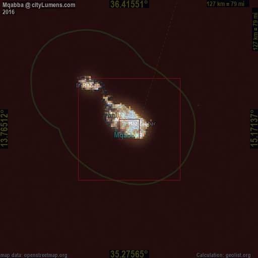
80.67%Clear (daylight) street map image can be seen on geolist.org.
Map coordinates:
36° 24' 55.8" North, 13° 45' 54.4" East
35° 50' 51.5" North, 14° 28' 5.7" East
35° 16' 32.3" North, 15° 10' 16.9" East
Some cities around Mqabba sort by population:
• Qormi
3.2 km =2 mi,  6°
6°
• Żurrieq
1.9 km =1.2 mi,  163°
163°
• Siġġiewi
3 km =1.9 mi,  287°
287°
• Luqa
2.2 km =1.4 mi,  55°
55°
• Gudja
3.1 km =1.9 mi,  86°
86°
• Qrendi
1.7 km =1.1 mi,  211°
211°
• Kirkop
1.6 km =1 mi,  111°
111°
• Safi
2.2 km =1.4 mi,  137°
137°
2562701 (p: 2,891)
Sources (retrieved 2019-11-25):
» Earth at Night: Flat Maps 2012, 2016