Għarb night lights from space
Night Light of Għarb (L-Għarb) from space (Malta) Src. Average luminocity for 10x10km area is 22.3864% and for 50x50km: 6.4695%.
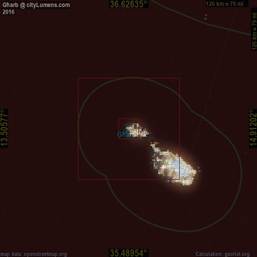
Analysis of Għarb night lights 2016
Square area 10x10 km:
100  0.92%
0.92%
90-99 0.92%
80-89 5.68%
70-79 3.48%
60-69 6.23%
50-59 3.85%
40-49 3.3%
30-39 4.58%
20-29 1.1%
10-19 15.02%
0-9 54.95%
0.92%90-99
0.92%80-89
5.68%70-79
3.48%60-69
6.23%50-59
3.85%40-49
3.3%30-39
4.58%20-29
1.1%10-19
15.02%0-9
54.95%Square area 50x50 km:
100 0.88%
90-99 1.01%
80-89 0.73%
70-79 1%
60-69 1.61%
50-59 0.54%
40-49 0.91%
30-39 1%
20-29 1.23%
10-19 3.26%
0-9 87.84%
0.88%90-99
1.01%80-89
0.73%70-79
1%60-69
1.61%50-59
0.54%40-49
0.91%30-39
1%20-29
1.23%10-19
3.26%0-9
87.84%Clear (daylight) street map image can be seen on geolist.org.
Map coordinates:
36° 37' 34.9" North, 13° 30' 20.8" East
36° 3' 36" North, 14° 12' 32" East
35° 29' 22.3" North, 14° 54' 43.3" East
Some cities around Għarb sort by population:
• Victoria
3.3 km =2.1 mi,  121°
121°
• Saint Lucia
2 km =1.2 mi,  158°
158°
• Żebbuġ
2.8 km =1.7 mi,  60°
60°
• Sannat
5 km =3.1 mi,  142°
142°
• Kerċem
2.6 km =1.6 mi, 141°
• Fontana
3.5 km =2.2 mi, 135°
• Munxar
4 km =2.5 mi,  146°
146°
• San Lawrenz
0.7 km =0.4 mi,  223°
223°
2563063 (p: 971)
Sources (retrieved 2019-11-25):
» Earth at Night: Flat Maps 2012, 2016