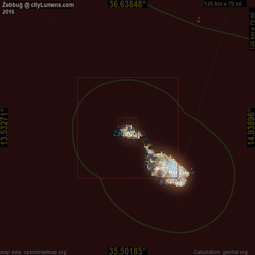
Żebbuġ night lights from space
Night Light of Żebbuġ (Iż-Żebbuġ) from space (Malta) Src. Average luminocity for 10x10km area is 27.6813% and for 50x50km: 7.1853%.
Analysis of Żebbuġ night lights 2016
Square area 10x10 km:
100  1.1%
1.1%
90-99 1.65%
80-89 6.41%
70-79 3.66%
60-69 9.16%
50-59 4.03%
40-49 4.21%
30-39 6.04%
20-29 2.38%
10-19 17.03%
0-9 44.32%
1.1%90-99
1.65%80-89
6.41%70-79
3.66%60-69
9.16%50-59
4.03%40-49
4.21%30-39
6.04%20-29
2.38%10-19
17.03%0-9
44.32%Square area 50x50 km:
100 1.26%
90-99 1.36%
80-89 0.73%
70-79 0.96%
60-69 1.61%
50-59 0.52%
40-49 0.9%
30-39 1.01%
20-29 1.31%
10-19 3.31%
0-9 87.03%
1.26%90-99
1.36%80-89
0.73%70-79
0.96%60-69
1.61%50-59
0.52%40-49
0.9%30-39
1.01%20-29
1.31%10-19
3.31%0-9
87.03%Clear (daylight) street map image can be seen on geolist.org.
Map coordinates:
36° 38' 18.5" North, 13° 31' 57.8" East
36° 4' 20" North, 14° 14' 9" East
35° 30' 6.7" North, 14° 56' 20.3" East
Some cities around Żebbuġ sort by population:
• Victoria
3.1 km =1.9 mi,  173°
173°
• Xagħra
3.6 km =2.2 mi,  133°
133°
• Saint Lucia
3.6 km =2.2 mi,  207°
207°
• Kerċem
3.5 km =2.2 mi,  193°
193°
• Fontana
3.9 km =2.4 mi,  179°
179°
• Għarb
2.8 km =1.7 mi,  240°
240°
• Munxar
4.7 km =2.9 mi, 182°
• San Lawrenz
3.4 km =2.1 mi, 237°
2562260 (p: 1,770)
Sources (retrieved 2019-11-25):
» Earth at Night: Flat Maps 2012, 2016