Pakokku night lights from space
Night Light of Pakokku (Magway) from space (Myanmar) Src. Average luminocity for 10x10km area is 26.3864% and for 50x50km: 3.4309%.
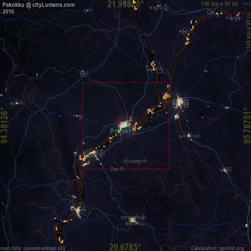
Analysis of Pakokku night lights 2016
Square area 10x10 km:
 0%
0%90-99
4.73%80-89
5.68%70-79
4.92%60-69
1.33%50-59
2.84%40-49
5.49%30-39
3.79%20-29
4.17%10-19
31.82%0-9
35.23%Square area 50x50 km:
0.02%90-99
0.3%80-89
0.48%70-79
0.73%60-69
1.06%50-59
0.32%40-49
0.58%30-39
0.25%20-29
0.24%10-19
1.88%0-9
94.14%Clear (daylight) street map image can be seen on geolist.org.
Map coordinates:
21° 59' 18.1" North, 94° 22' 52.5" East
21° 20' 5.6" North, 95° 5' 3.8" East
20° 40' 42.6" North, 95° 47' 15" East
Some cities around Pakokku sort by population:
• Mandalay
125.4 km =77.9 mi,  55°
55°
• Monywa
86.2 km =53.6 mi,  3°
3°
• Meiktila
95 km =59 mi,  122°
122°
• Myingyan
34.4 km =21.4 mi,  66°
66°
• Yenangyaung
99.2 km =61.6 mi,  192°
192°
• Chauk
55.8 km =34.7 mi,  209°
209°
• Sagaing
110.6 km =68.7 mi, 56°
• Kyaukse
112.8 km =70.1 mi, 74°
1302439 (p: 126,938)
Sources (retrieved 2019-11-25):
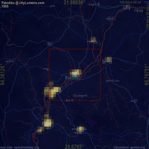
» NASA, Earths city lights 1995
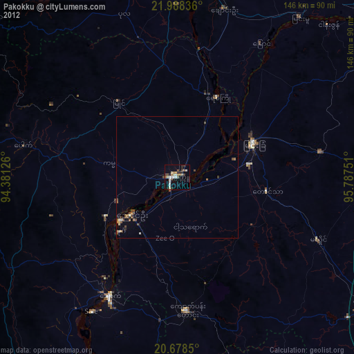
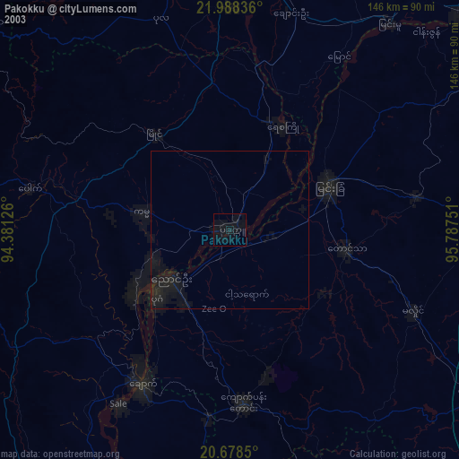
» NASA city lights 2003
» Earth at Night: Flat Maps 2012, 2016