Vasilevo night lights from space
Night Light of Vasilevo from space (North Macedonia) Src. Average luminocity for 10x10km area is 15.4252% and for 50x50km: 1.6944%.
Analysis of Vasilevo night lights 2016
Square area 10x10 km:
 1.53%
1.53%90-99
3.4%80-89
1.87%70-79
2.04%60-69
0.85%50-59
2.55%40-49
1.53%30-39
2.55%20-29
0.85%10-19
11.05%0-9
71.77%Square area 50x50 km:
0.09%90-99
0.34%80-89
0.18%70-79
0.23%60-69
0.14%50-59
0.38%40-49
0.2%30-39
0.28%20-29
0.28%10-19
0.65%0-9
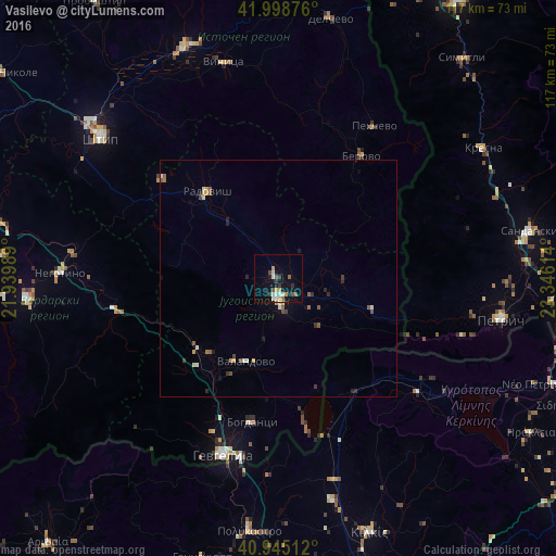
97.24%Clear (daylight) street map image can be seen on geolist.org.
Map coordinates:
41° 59' 55.5" North, 21° 56' 23.6" East
41° 28' 26.7" North, 22° 38' 34.8" East
40° 56' 42.4" North, 23° 20' 46.1" East
Some cities around Vasilevo sort by population:
• Strumica
4.1 km =2.5 mi,  179°
179°
• Radovis
23.5 km =14.6 mi,  320°
320°
• Berovo
31.1 km =19.3 mi,  35°
35°
• Bosilovo
8 km =5 mi,  117°
117°
• Novo Selo
21 km =13 mi,  108°
108°
• Bogdanci
30.7 km =19.1 mi,  190°
190°
• Valandovo
18.7 km =11.6 mi,  201°
201°
• Konče
21.7 km =13.5 mi,  276°
276°
784700 (p: 12,382)
Sources (retrieved 2019-11-25):
» Earth at Night: Flat Maps 2012, 2016