Tearce night lights from space
Night Light of Tearce from space (North Macedonia) Src. Average luminocity for 10x10km area is 3.7286% and for 50x50km: 3.4169%.
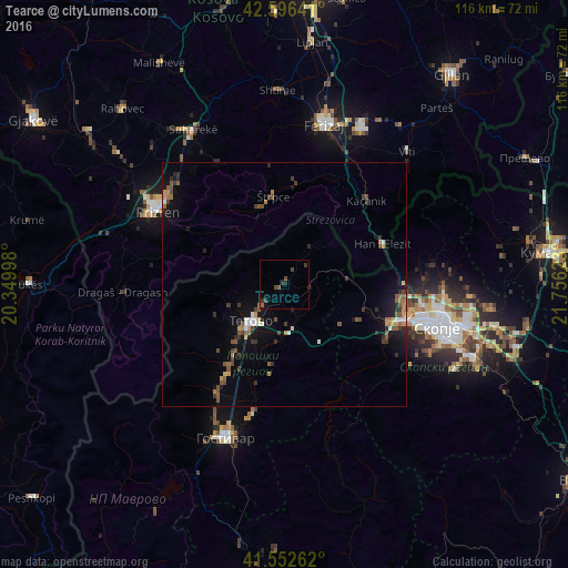
Analysis of Tearce night lights 2016
Square area 10x10 km:
 0%
0%90-99
0%80-89
0%70-79
0%60-69
0.32%50-59
1.27%40-49
2.06%30-39
2.38%20-29
0.95%10-19
0%0-9
93.02%Square area 50x50 km:
0.15%90-99
0.4%80-89
0.13%70-79
0.36%60-69
0.55%50-59
0.77%40-49
0.7%30-39
0.76%20-29
0.74%10-19
2.65%0-9
92.8%Clear (daylight) street map image can be seen on geolist.org.
Map coordinates:
42° 35' 47.1" North, 20° 20' 59.9" East
42° 4' 36" North, 21° 3' 11.2" East
41° 33' 9.4" North, 21° 45' 22.4" East
Some cities around Tearce sort by population:
• Tetovo
10 km =6.2 mi,  222°
222°
• Zelino
10.8 km =6.7 mi,  175°
175°
• Brvenica
13.6 km =8.5 mi,  206°
206°
• Kamenjane
17.8 km =11.1 mi, 215°
• Šipkovica
12.3 km =7.6 mi,  247°
247°
• Džepčište
6.7 km =4.2 mi, 222°
• Jegunovce
5.8 km =3.6 mi,  94°
94°
• Štrpce, XK
18.2 km =11.3 mi,  353°
353°
785113 (p: 23,096)
Sources (retrieved 2019-11-25):
» Earth at Night: Flat Maps 2012, 2016