Tetovo night lights from space
Night Light of Tetovo from space (North Macedonia) Src. Average luminocity for 10x10km area is 21.5333% and for 50x50km: 3.5549%.
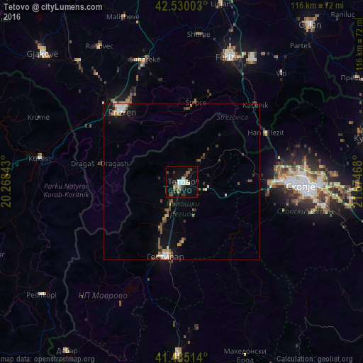
Analysis of Tetovo night lights 2016
Square area 10x10 km:
 2.54%
2.54%90-99
5.08%80-89
0.79%70-79
2.06%60-69
1.75%50-59
3.97%40-49
2.54%30-39
4.44%20-29
1.59%10-19
23.33%0-9
51.9%Square area 50x50 km:
0.31%90-99
0.59%80-89
0.28%70-79
0.35%60-69
0.45%50-59
0.73%40-49
0.6%30-39
0.55%20-29
0.45%10-19
2.65%0-9
93.05%Clear (daylight) street map image can be seen on geolist.org.
Map coordinates:
42° 31' 48.1" North, 20° 16' 6.3" East
42° 0' 35" North, 20° 58' 17.6" East
41° 29' 6.5" North, 21° 40' 28.8" East
Some cities around Tetovo sort by population:
• Zelino
8.3 km =5.2 mi,  113°
113°
• Tearce
10 km =6.2 mi,  42°
42°
• Brvenica
4.8 km =3 mi,  170°
170°
• Kamenjane
7.9 km =4.9 mi,  206°
206°
• Bogovinje
10.7 km =6.6 mi, 206°
• Šipkovica
5.4 km =3.4 mi,  301°
301°
• Džepčište
3.4 km =2.1 mi, 40°
• Jegunovce
14.4 km =8.9 mi,  60°
60°
785082 (p: 72,944)
Sources (retrieved 2019-11-25):
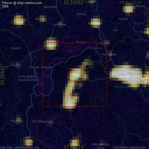
» NASA, Earths city lights 1995
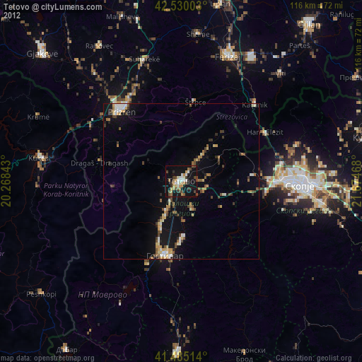
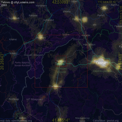
» NASA city lights 2003
» Earth at Night: Flat Maps 2012, 2016