Kamenjane night lights from space
Night Light of Kamenjane (Bogovinje) from space (North Macedonia) Src. Average luminocity for 10x10km area is 11.6571% and for 50x50km: 2.8055%.
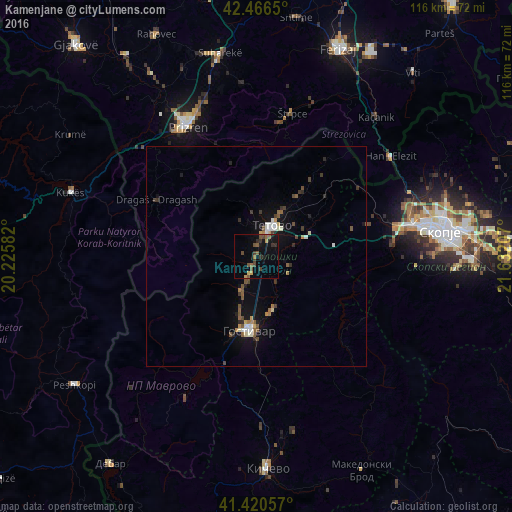
Analysis of Kamenjane night lights 2016
Square area 10x10 km:
 0%
0%90-99
0%80-89
0.48%70-79
2.06%60-69
0.79%50-59
4.13%40-49
3.49%30-39
3.17%20-29
1.75%10-19
10.16%0-9
73.97%Square area 50x50 km:
0.19%90-99
0.4%80-89
0.18%70-79
0.24%60-69
0.32%50-59
0.65%40-49
0.54%30-39
0.5%20-29
0.4%10-19
2.01%0-9
94.57%Clear (daylight) street map image can be seen on geolist.org.
Map coordinates:
42° 27' 59.4" North, 20° 13' 33" East
41° 56' 44.4" North, 20° 55' 44.2" East
41° 25' 14.1" North, 21° 37' 55.5" East
Some cities around Kamenjane sort by population:
• Tetovo
7.9 km =4.9 mi,  26°
26°
• Zelino
11.8 km =7.3 mi,  71°
71°
• Negotino
8.4 km =5.2 mi,  206°
206°
• Brvenica
4.9 km =3 mi,  60°
60°
• Bogovinje
2.8 km =1.7 mi, 207°
• Cegrane
12.5 km =7.8 mi,  161°
161°
• Šipkovica
10 km =6.2 mi,  353°
353°
• Džepčište
11.3 km =7 mi, 30°
789611 (p: 15,376)
Sources (retrieved 2019-11-25):
» Earth at Night: Flat Maps 2012, 2016