Kochani night lights from space
Night Light of Kochani from space (North Macedonia) Src. Average luminocity for 10x10km area is 10.2% and for 50x50km: 2.0705%.
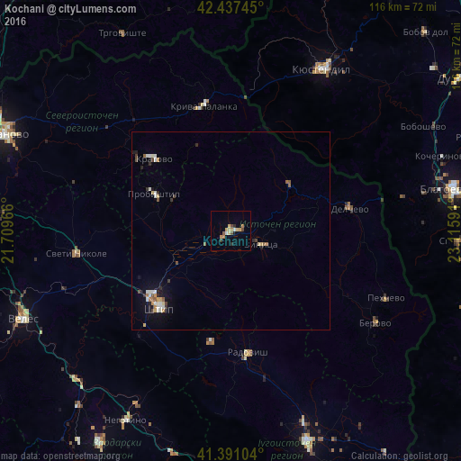
Analysis of Kochani night lights 2016
Square area 10x10 km:
 0.16%
0.16%90-99
1.11%80-89
2.7%70-79
1.59%60-69
2.06%50-59
0.95%40-49
1.59%30-39
0.95%20-29
0.95%10-19
0.63%0-9
87.3%Square area 50x50 km:
0.13%90-99
0.48%80-89
0.29%70-79
0.22%60-69
0.18%50-59
0.32%40-49
0.25%30-39
0.22%20-29
0.28%10-19
0.92%0-9
96.7%Clear (daylight) street map image can be seen on geolist.org.
Map coordinates:
42° 26' 14.8" North, 21° 42' 34.8" East
41° 54' 59" North, 22° 24' 46" East
41° 23' 27.7" North, 23° 6' 57.3" East
Some cities around Kochani sort by population:
• Shtip
26.1 km =16.2 mi,  223°
223°
• Vinica
8.8 km =5.5 mi,  115°
115°
• Delcevo
30 km =18.6 mi,  79°
79°
• Probishtip
21.6 km =13.4 mi,  296°
296°
• Kratovo
26.3 km =16.3 mi,  313°
313°
• Makedonska Kamenica
18.5 km =11.5 mi,  51°
51°
• Karbinci
18.3 km =11.4 mi,  233°
233°
• Zrnovci
7.4 km =4.6 mi,  159°
159°
789403 (p: 34,258)
Sources (retrieved 2019-11-25):
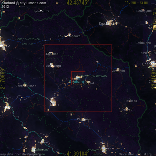
» Earth at Night: Flat Maps 2012, 2016