Prilep night lights from space
Night Light of Prilep from space (North Macedonia) Src. Average luminocity for 10x10km area is 23.602% and for 50x50km: 1.1968%.
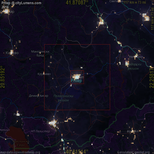
Analysis of Prilep night lights 2016
Square area 10x10 km:
 3.4%
3.4%90-99
6.46%80-89
2.38%70-79
4.25%60-69
1.87%50-59
0.68%40-49
1.36%30-39
0%20-29
1.19%10-19
28.23%0-9
50.17%Square area 50x50 km:
0.13%90-99
0.3%80-89
0.12%70-79
0.16%60-69
0.07%50-59
0.08%40-49
0.12%30-39
0.05%20-29
0.19%10-19
1.12%0-9
97.66%Clear (daylight) street map image can be seen on geolist.org.
Map coordinates:
41° 52' 15.1" North, 20° 51' 6.9" East
41° 20' 42.5" North, 21° 33' 18.1" East
40° 48' 54.5" North, 22° 15' 29.4" East
Some cities around Prilep sort by population:
• Dolneni
12.3 km =7.6 mi,  316°
316°
• Krivogashtani
18.6 km =11.6 mi,  266°
266°
• Makedonski Brod
34 km =21.1 mi,  303°
303°
• Krusevo
25.7 km =16 mi,  275°
275°
• Mogila
30.2 km =18.8 mi,  209°
209°
• Čaška
35.1 km =21.8 mi,  14°
14°
• Novaci
34.7 km =21.6 mi,  193°
193°
• Demir Hisar
32.5 km =20.2 mi,  244°
244°
786735 (p: 73,814)
Sources (retrieved 2019-11-25):
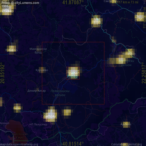
» NASA, Earths city lights 1995
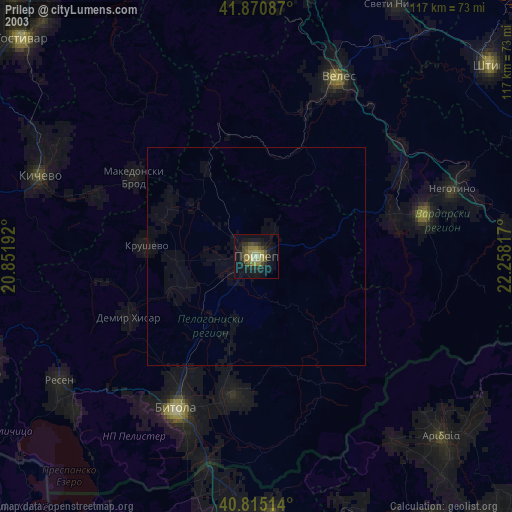
» NASA city lights 2003
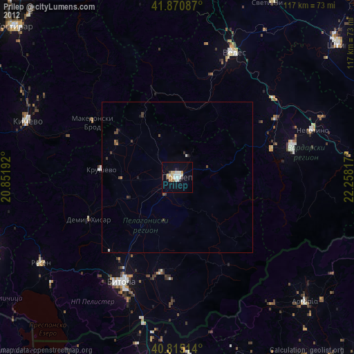
» Earth at Night: Flat Maps 2012, 2016