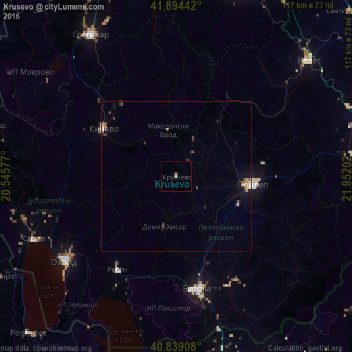
Krusevo night lights from space
Night Light of Krusevo (Krushevo) from space (North Macedonia) Src. Average luminocity for 10x10km area is 1.1446% and for 50x50km: 1.0263%.
Analysis of Krusevo night lights 2016
Square area 10x10 km:
 0%
0%90-99
0.34%80-89
0.34%70-79
0%60-69
0.68%50-59
0%40-49
0%30-39
0%20-29
0%10-19
0%0-9
98.64%Square area 50x50 km:
0.08%90-99
0.16%80-89
0.09%70-79
0.15%60-69
0.14%50-59
0.1%40-49
0.22%30-39
0.14%20-29
0.24%10-19
0.6%0-9
98.07%Clear (daylight) street map image can be seen on geolist.org.
Map coordinates:
41° 53' 39.9" North, 20° 32' 44.8" East
41° 22' 8" North, 21° 14' 56" East
40° 50' 20.7" North, 21° 57' 7.3" East
Some cities around Krusevo sort by population:
• Prilep
25.7 km =16 mi,  95°
95°
• Kičevo
29 km =18 mi,  303°
303°
• Dolneni
18.2 km =11.3 mi,  69°
69°
• Krivogashtani
7.9 km =4.9 mi,  117°
117°
• Makedonski Brod
16.3 km =10.1 mi,  350°
350°
• Plasnica
15.2 km =9.4 mi,  316°
316°
• Mogila
30.9 km =19.2 mi,  159°
159°
• Demir Hisar
16.9 km =10.5 mi,  193°
193°
788961 (p: 5,211)
Sources (retrieved 2019-11-25):
» Earth at Night: Flat Maps 2012, 2016