Dolneni night lights from space
Night Light of Dolneni from space (North Macedonia) Src. Average luminocity for 10x10km area is 0.1769% and for 50x50km: 1.2844%.
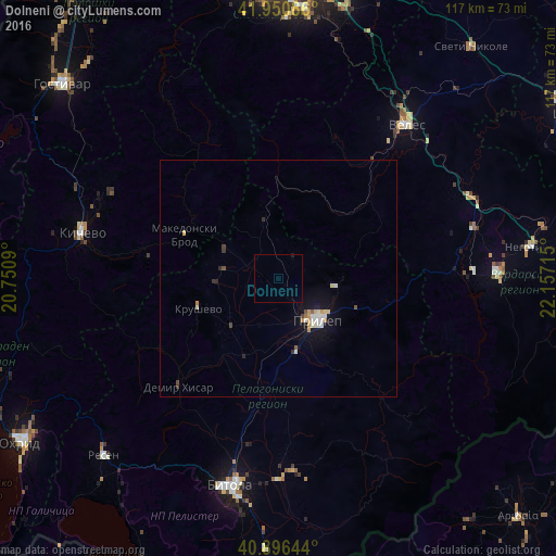
Analysis of Dolneni night lights 2016
Square area 10x10 km:
 0%
0%90-99
0%80-89
0%70-79
0%60-69
0%50-59
0%40-49
0%30-39
0%20-29
0%10-19
0.34%0-9
99.66%Square area 50x50 km:
0.13%90-99
0.31%80-89
0.16%70-79
0.16%60-69
0.1%50-59
0.08%40-49
0.14%30-39
0.08%20-29
0.19%10-19
1.12%0-9
97.53%Clear (daylight) street map image can be seen on geolist.org.
Map coordinates:
41° 57' 3.1" North, 20° 45' 3.2" East
41° 25' 32.8" North, 21° 27' 14.5" East
40° 53' 47.2" North, 22° 9' 25.7" East
Some cities around Dolneni sort by population:
• Prilep
12.3 km =7.6 mi,  136°
136°
• Krivogashtani
14.2 km =8.8 mi,  225°
225°
• Makedonski Brod
22.2 km =13.8 mi,  296°
296°
• Krusevo
18.2 km =11.3 mi,  249°
249°
• Plasnica
28 km =17.4 mi,  279°
279°
• Mogila
35.9 km =22.3 mi,  190°
190°
• Čaška
30.4 km =18.9 mi,  34°
34°
• Demir Hisar
31 km =19.3 mi,  222°
222°
791363 (p: 11,534)
Sources (retrieved 2019-11-25):
» Earth at Night: Flat Maps 2012, 2016